


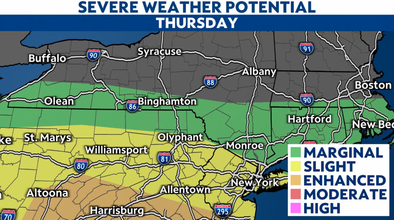
There is a marginal risk for severe storms from the Southern Tier in western New York, through the Twin Tiers, and down through the Hudson Valley.
The risk increases to slight as you travel to NYC. This is all associated with a frontal system and a MCS (mesoscale convective system).
The morning hours are quiet, with increasing dew points and high temperatures climbing into the 70s. As the system approaches, we could see a few showers and storms pop before noon.
As the afternoon goes on, more showers and storms will develop, working across the state from west to east until sundown. The severe weather potential looks strong in New York City as the MCS tracks closer to that region.
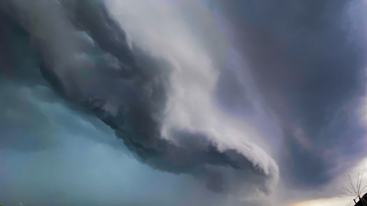
With enough energy in the atmosphere, we will see storms that have the potential for damaging winds in excess of 50 to 60 mph, hail, pockets of heavy rain and an isolated tornado.
This is a day to be weather aware as you are out and about, keeping an eye to the sky, tuning in to Weather on the 1s updates and tracking the storms on our Spectrum News 1 app.
As the sun goes down this evening, we will lose most of the energy in the atmosphere, and the risk for stronger storms should diminish.
Behind this system, a block of cooler air will settle in, and we will struggle to see many spots across the state get out of the 60s, which is much more a fall-like day versus the end of July.