After a quiet Tuesday across the state, expect rain and snow to move in from the west Tuesday evening and continue spreading east Tuesday night. Freezing rain and snow are likely in northern Wisconsin through early Wednesday morning while areas in the southern part of the state see any snow or rain/snow mix transition to all rain overnight.
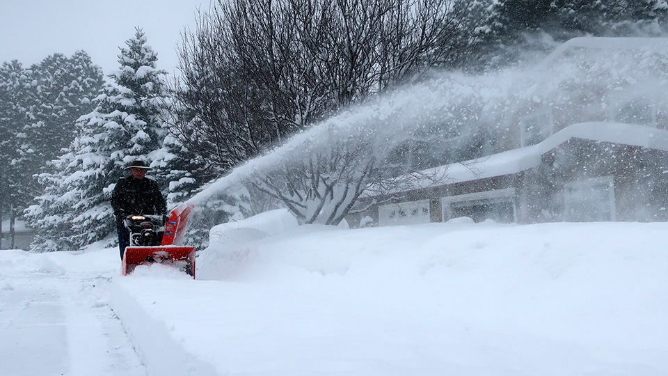
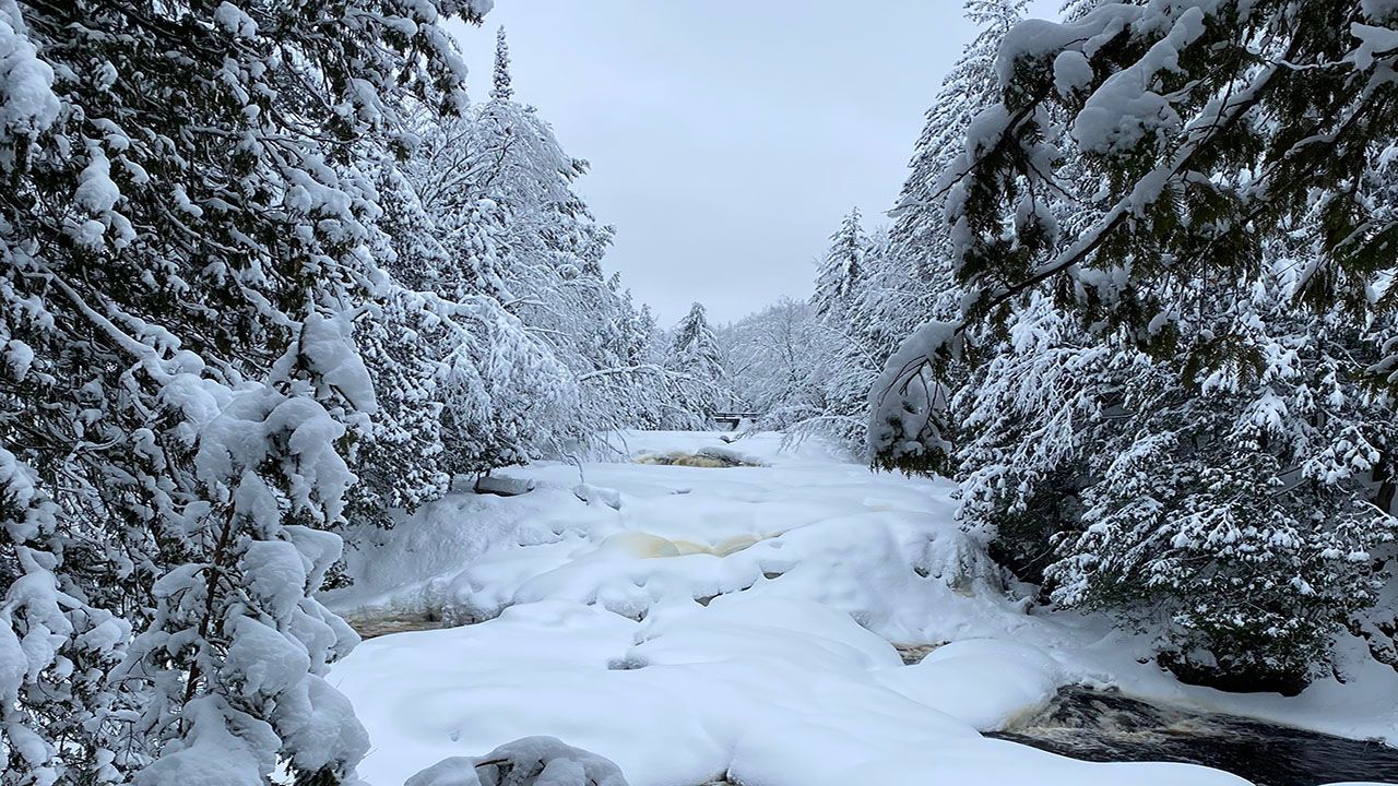
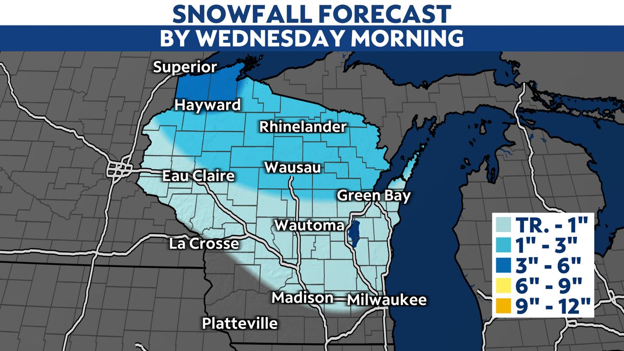
Light ice and snow accumulation is likely in northern Wisconsin through Wednesday morning with the highest snowfall amounts expected in Douglas and Bayfield Counties where the snow will hang on through the duration of the storm.
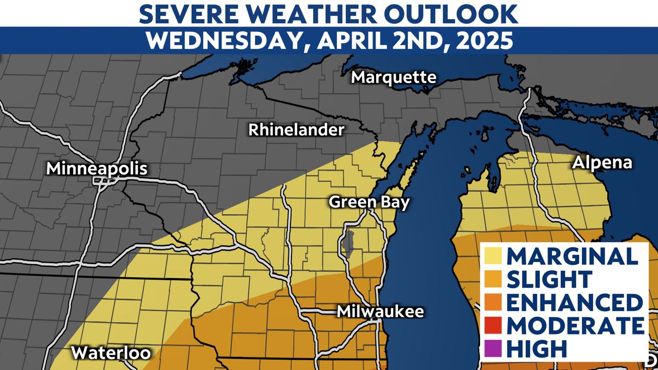
By Wednesday morning, our first of two rounds of strong to severe thunderstorms moves into southern Wisconsin. Heavy rain, gusty wind and small hail are the threats with these morning storms from 4 a.m. to 9 a.m.
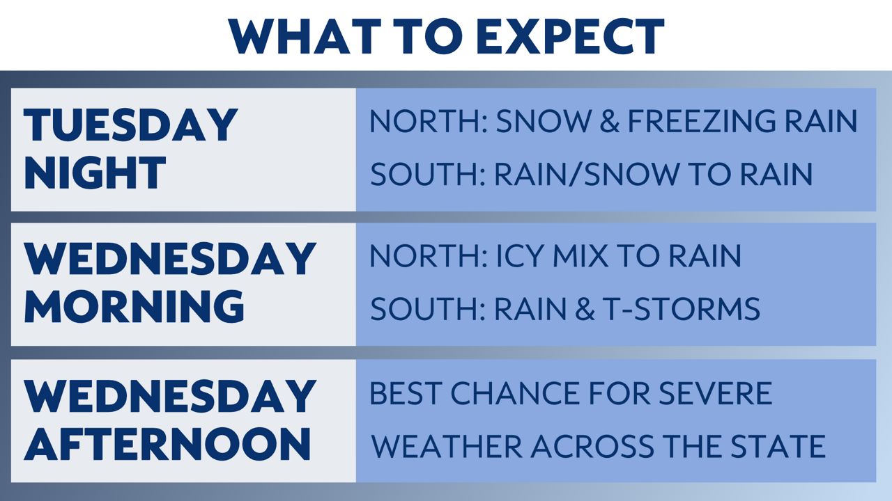
A brief lull in the action is possible through the late morning and every afternoon, before another, potentially stronger, line of storms moves into southern and eastern Wisconsin. The main threat with these storms will be large hail, damaging wind gusts and even a brief tornado or two.
All of the activity wraps up Wednesday night with calmer weather returning later this week.
Stay with Spectrum News 1 Wisconsin for continued updates.
Wednesday's Forecast:

Check your local forecast | Send us your weather photos
Follow the "Weather On the 1s" Team on social media for the latest weather updates:
Meteorologist Brooke Brighton: Facebook | Twitter | Instagram | Threads l Bluesky
Meteorologist Jesse Gunkel: Facebook | Twitter
Meteorologist Kristin Ketchell: Facebook | Twitter | Instagram