


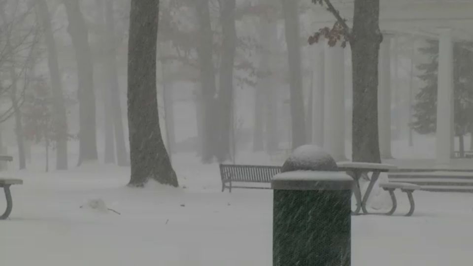
Precipitation will become more mixed tonight with areas of snow, sleet, freezing rain and even just plain rain showers for a time for across parts of Central New York and the Southern Tier. The North Country will primarily be impacted by snow with areas of sleet/freezing rain. Whether it's snow covered roads or icy conditions, this mix will continue to make for difficult and slower than average travel conditions.
Tonight’s Temps:
Central New York: climbing through the 20s/30s
North Country: climbing through the 10s/20s/30s
Southern Tier: 20s/30s
Snowfall totals:
Lake effect snow will drop southeast of Lake Ontario into Thursday morning but quieter conditions will develop with highs in the 20s and 30s.
After another wintry-mixed event on Friday with highs closer to 40 degrees, colder temperatures make a comeback this weekend.