


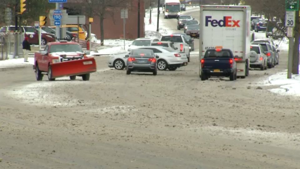
Snow will continue to pick up in intensity through tonight. At times snowfall rates will be between 1-1.25” per hour. This will make for difficult travel on the roadways, especially from Buffalo - north. Areas south of Buffalo will see less snowfall and more of a rain/sleet mix keeping accumulations a bit less. North, anticipate a solid 7-10” of accumulation, while areas south will see 3-5”. Lows tonight will fall into the teens and low 20s. Overnight, most widespread snow will taper.
WEATHER RESOURCES
Closings | Watches & Warnings | Power Outages | Radar | Traffic Map | Airport Conditions | 7-Day Forecast | Current Conditions | Sign Up for Weather Alerts
Tuesday will be very cold with localized lake snow showers. Any widespread snow will be a thing of the past, but many areas will have to clean up from heavy accumulation. Highs will only be in the mid to upper 20s.
Wednesday will be quiet but still very cold with highs still struggling to climb out of the 20s. We’ll get back up in the mid to upper 30s on Thursday with only a slight risk for a sprinkle or flurry.
There will be a better chance for a few passing rain or wet snow showers later Friday as another cold front swings in. Out ahead of this front temps will climb back up around 40. After a quiet but cold day Saturday, temps will begin to warm back up with seasonable to even mild weather next week.