After the holiday weekend it is back to work for many of us and our traditional wet weather season persists.
This morning we will start off relatively mild for the drive to work with temperatures hovering in the lower and middle 70s. Wind will remain mainly out of the south or southwest between 5 mph and 15 mph.
But inland areas, especially within Marion County and Sumter County may deal with some low-level fog. This, however, should burn off by late this morning.
As we move into the afternoon, mostly sunny to partly sunny skies are expected with high temperatures ranging from middle to upper 80s along the coast to lower and middle 90s throughout the interior of Central Florida.
Heat index values will mainly range between the mid 90s and upper 90s with a few areas potentially making it into the lower 100s.
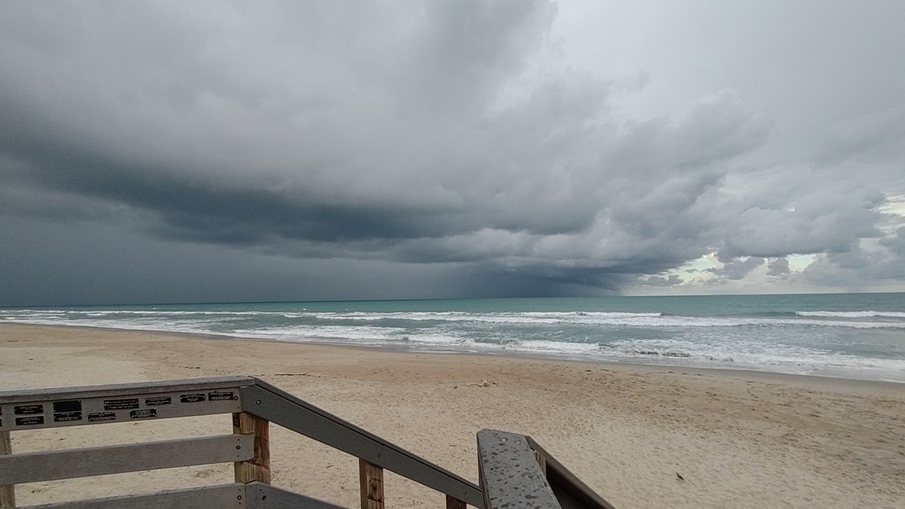
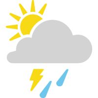
By this afternoon, the sea breeze from both side to the state will intensify and build into the interior, providing a chance for showers and thunderstorms to develop. Overall, a 40% chance for thunderstorms are expected with severe weather activity more likely towards northern Florida.
There is a slight possibility for some of the stronger storm cells to dip south and potentially bring severe weather threats to Flagler, northern Volusia, and Marion counties. If severe weather activity occurs, it is more likely for damaging wind, and hail over the threat of rotation which may lead to tornado development.
Upper 80s and lower 90s will remain for the rest of the work week with temperature slightly falling to middle and upper 80s to start the weekend. This is due to a cold front that will drag across the southeast and dip south throughout the Gulf and into the Atlantic.
Scattered shower and thunderstorm chances will remain around 50% for the area and at this time severe weather activity is not expected. However, if this changes we will let you know.
 |
Highs: Lower 90s Lows: Low to mid-70s Rain Coverage: 40% |
Check your hour-by-hour forecast here | Share your weather photos