


RALEIGH, N.C. -- It is a good afternoon to stay indoors as temperatures will struggle to make it much above 40 with spotty light rain and drizzle.
- A cold rain has been falling with early morning temperatures hovering just above freezing
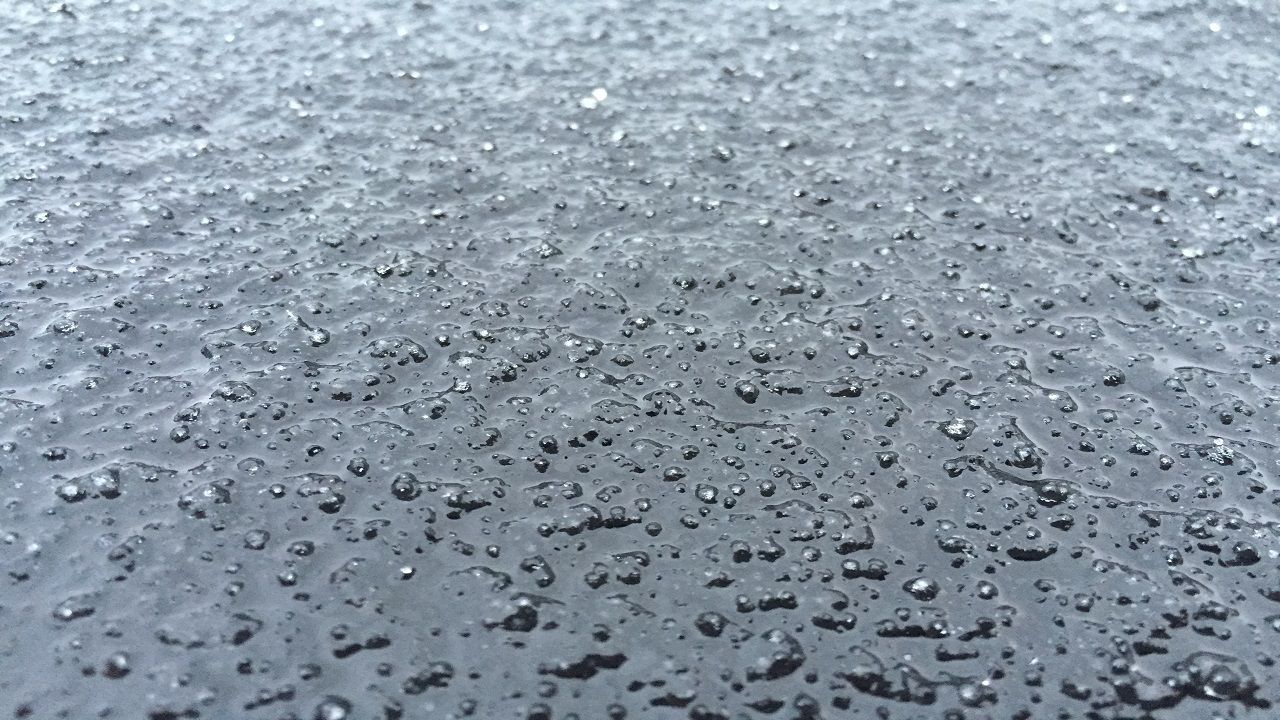
- North and west of the Triangle, morning temperatures held right at freezing leading to freezing rain and a very light glaze on trees
- Power outages and slick spots on bridges and overpasses have been reported through this region
Scattered sleet was reported Saturday afternoon and evening around the Triangle, with no impacts in the region. Since then, a cold rain has been falling with early morning temperatures hovering just above freezing.
North and west of the Triangle, morning temperatures held right at freezing leading to freezing rain and a very light glaze on trees and power lines in Person and Granville Counties.
Freezing rain lasted longer in an area from near Greensboro and Winston-Salem to Roxboro, where ice accumulations were between 0.1 and 0.3".
Here are a few ice reports:
- Haw River 0.10”
- Sedge Garden 0.25”
- Kernersville 0.30”
- Winston-Salem 0.25”
- Stokesdale 0.25”
- Concord(Person Co.) 0.25”
Power outages and slick spots on bridges and overpasses have been reported through this region.
Sunday night should be cloudy across central North Carolina, with just a slight chance for a few patches of drizzle. Lows temperatures near freezing are expected by early Monday morning.
Much of the upcoming work week should be dry. Monday's highs will only top out just above 40, but hang in there highs in the mid 50s are forecast by midweek.
Get the latest news, sports and weather delivered straight to your inbox. Click here to sign up for email and text alerts.