


RALEIGH -- Winter weather is on the way for the Carolinas this weekend. An area of high pressure is to our our north supplying cold air as an area of low pressure to our southwest brings moisture. The low will likely track northeast towards the Carolinas Saturday and cause our weather to deteriorate tonight and through the day Sunday.
Saturday's weather will be relatively calm. We'll continue with our below average trend in temperatures with highs in the mid 40s for many. Light rain will likely linger for southern counties, but the intense and hazardous precipitation will not arrive until tonight. As the low builds into the region tonight an overnight, temperatures will fall to near 30 degrees. This will allow for cold rain to transition to sleet, freezing rain and snow. Based of the latest data our highest snow totals will likely fall just north and west of I-85. There, accumulation could reach between 4 to 8 inches. This could include the Durham, Chapel Hill and the Roxboro areas.
Not to far away in Raleigh and points farter south and east may receive between 1 to 4 inches. Based off the track of the low and timing of the change over of rain to snow, these accumulation forecast can change.
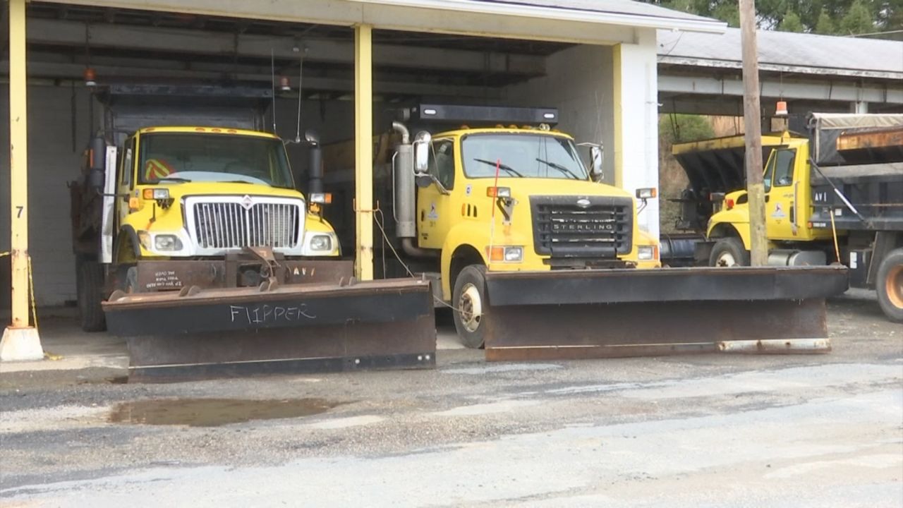
To go along with the snow, ice accumulations are also possible. So be careful when walking near trees and power lines. Also bridges, overpasses and secondary roads are the most susceptible to accumulating ice. Road conditions ill turn more hazardous through the day Sunday and into Monday morning. If you have to get on the road, take it slow and be sure to give plenty of space between you and any other cars on the road.
Winds will also be an issue with this storm system. Saturday will be relatively calm winds out of the north between 5 to 10 mph, expect winds to pick up to 20 mph Saturday night. As the system works it was through the region some gusts may be as high as 30 mph.
So with snow and ice weighing down tree limbs and power lines to go along with strong winds, power outages are expected. So make sure you have cell phones, laptops and any other electronic devices charged now before you power possible goes out. Also even for areas farther south and east that will likely not receive wintry weather, remain weather aware. This system is an efficient rain producers and may cause some flash flooding for poor drainage areas and homes near bodies of water.
So remain connected for future updates as we continue to monitor this storm and provide updates.