


RALEIGH, N.C. -- We wrapped up the week with dry weather, but a winter storm system will bring precipitation to the area by Sunday.
- Below average temperatures Friday night
- Clouds in the forecast for Saturday
- Precipitation will spread across the state Sunday
Chilly high pressure continues to keep temperatures below average tonight and with clouds in the forecast for Saturday, sunshine will be limited meaning cool daytime highs.
Low pressure will move toward the southeastern United States Saturday night into Sunday. Precipitation will spread across North Carolina during that time.
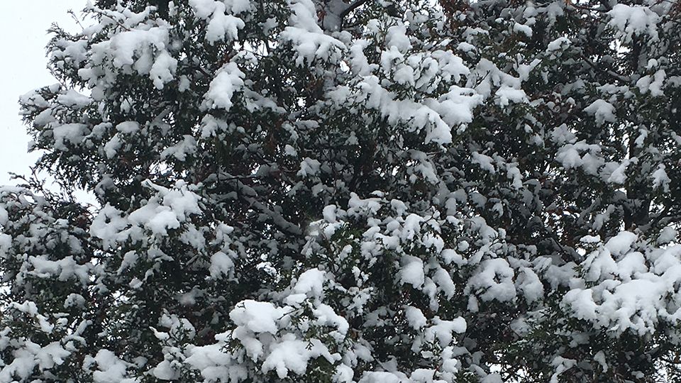
At this time, the best chance for snow will be west of I-85 with mostly rain east of I-95. In between those interstate highways we are expecting a mix of precipitation types. The bulk of the precipitation will move through on Sunday with precipitation ending on Monday.
A shift in the track of the storm could lead to significant changes in the local forecast. So, be sure to monitor the forecast closely through the weekend.
Stay with Spectrum News through the weekend for forecast updates.
Get the latest news, sports and weather delivered straight to your inbox. Click here to sign up for email and text alerts.