


If you thought Tuesday was unusually cool for June, you were right. The high at the Raleigh-Durham Airport only made it to 70. That is closer to the average high for early April or late October. Next week could be even hotter.
- 7-day forecast
- Interactive radar
- Share your weather pictures with Meteorologist Lee Ringer on Facebook
Clouds will be slow to break through Wednesday morning across central North Carolina. Some sun should return by midday and afternoon though. That will send high temperatures back to the mid and upper 80s for Wednesday afternoon.
Thursday will be warmer with highs in the low 90s. Scattered storms are expected with the heat of the afternoon. The highest chance for those storms will come south and southeast of Raleigh.
Afternoon temperatures will top out in the upper 80s to near 90 for Friday and the weekend.
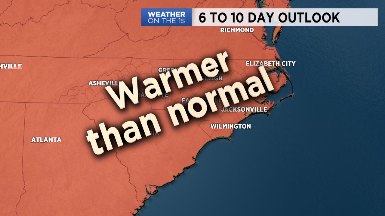
The Climate Prediction Center's six to ten day outlook shows that is is likely much of the eastern United States including North Carolina will be warmer than average for most of next week.
Average highs for mid-June in central North Carolina are in the upper 80s, so most days next week should be warmer than that.
For now, we'll forecast the low and mid 90s for much of the upcoming week.
Get the latest news, sports and weather delivered straight to your inbox. Click here to sign up for email and text alerts.