


After a cold start to our Friday, we did see slightly milder daytime highs on with a "warming trend" that will continue for the start of the weekend.
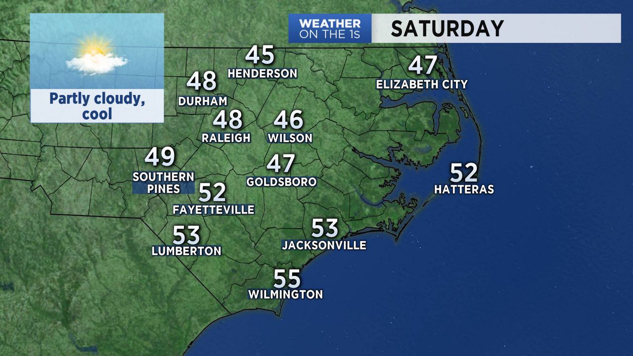
High pressure will control our weather through the night. With partly cloudy skies, we'll see cold overnight temperatures but lows will not be as cold as the previous night. This high pressure system will set the stage for a nice day on Saturday with some sun, some clouds and slightly below average afternoon highs.
Another cold air mass drops into North Carolina Saturday night into Sunday morning. This will guarantee a cold end to 2017 and a cold start to 2018. Afternoon highs on both Sunday and Monday are expected to be about 20 degrees below seasonal averages.
Watch Spectrum News for your latest local weekend forecast.