


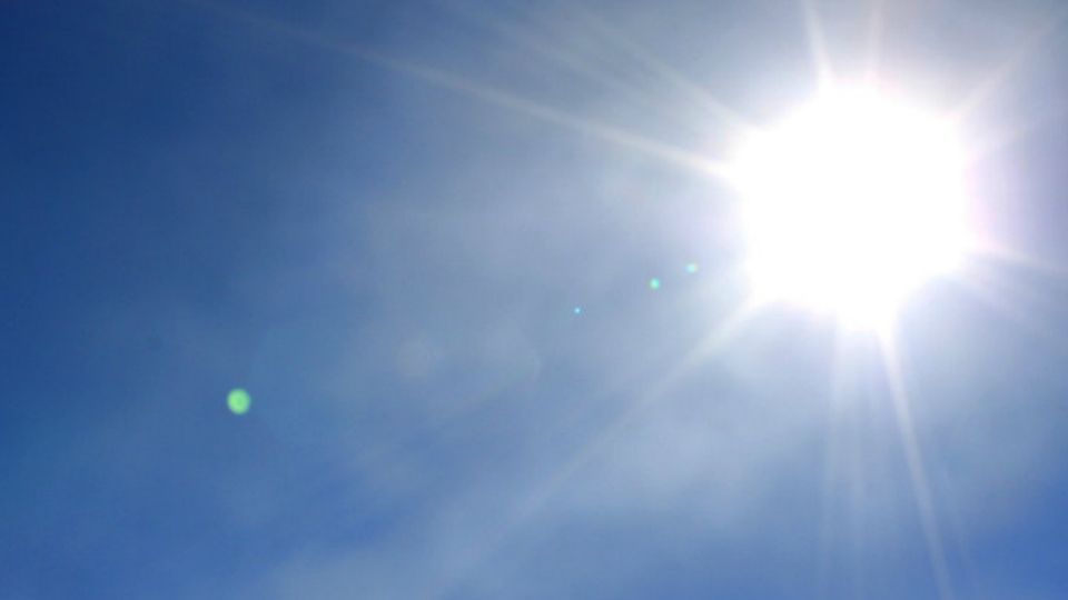
NORTH CAROLINA -- High pressure continues to hang on to the region keeping conditions bright and dry.
- Sunday will be a very warm day with highs in the 80s and 90s this afternoon.
- After a nice stretch of comfortable weather, the humidity had eased back into the state tonight
- Temperatures will remain well above normal as Fall begins tomorrow
- STAY INFORMED: Sign up for our breaking news and weather text alerts
With the high sitting just to our north and east, its creating a warm southerly wind for the Carolinas. This will ensure another very warm day with highs in the 80s and 90s this afternoon.
After a nice stretch of comfortable weather, the humidity had eased back into the state tonight. Thankfully we are not dealing with an oppressively humid day, but with dew points in the low to mid 60s it may feel muggy to some.
Temperatures will remain well above normal as Fall begins tomorrow. Rather than normal highs near 80 degrees, highs will be near 90 Monday afternoon.
A moisture deprived cold front will slide through Tuesday and provide a brief relieve from our muggy weather. Expect low humid days Tuesday and Wednesday.
Temperatures and the humidity will quickly rebound by Thursday ahead of an approaching cold front that looks to stall across Virginia. If this happens, expect highs well above normal for the end of the week and next weekend. Some locations may have highs reach the mid 90s Saturday.