


High pressure continues to drift offshore this evening, opening the door to an approaching cold front front the west. Until its arrival we'll maintain mostly dry weather, with only a few evening showers for western North Carolina. Skies will remain partly cloudy tonight and overnight as temperatures remain mild in the low 70s.
- Interactive Radar
- 7-Day Forecast
- Connect with Meteorologist Vernon Turner on Facebook
- Follow Meteorologist Vernon Turner on Twitter
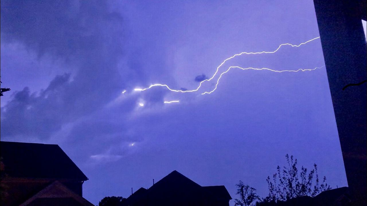
As the cold front closes in on the region tomorrow, southerly winds will lead to another hot and humid day across the state. Highs will reach the 90s for pretty much everyone, but the humidity will push the "feels like temperature" (heat index) into the triple digits. Much of Tuesday will be dry until the late afternoon and evening hours. A few isolated storms may develop ahead of the main line which isn't expected to arrive until near sunset; first for the Triad and then the Triangle.
As the main line of storms dives south across the state, it will gradually weaken. We'll maintain the Marginal to Slight risk for severe weather tomorrow with the main concerns being localized heavy rain and isolated damaging wind gusts.
The front will be slow to move through our area taking the entire day and night Wednesday to fully pass through. So we'll keep hot, humid and story weather in the forecast through Wednesday.
TROPICAL UPDATE
The tropics remain calm as we close in on the middle of August as we continue along Atlantic Hurricane Season. So far we have had two named storms as we are getting towards the time frame where activity begins to pick up. Saharan dusts have been dominate over the Atlantic for the past couple weeks, and that did disrupt any potential tropical development. But now looking ahead, based off historical averages we're moving towards peak hurricane season. So do not let our low tropical activity thus far fool you in to thinking this season will be lackluster. Hurricane season goes until November 30 so there's plenty of time for activity to ramp up.