


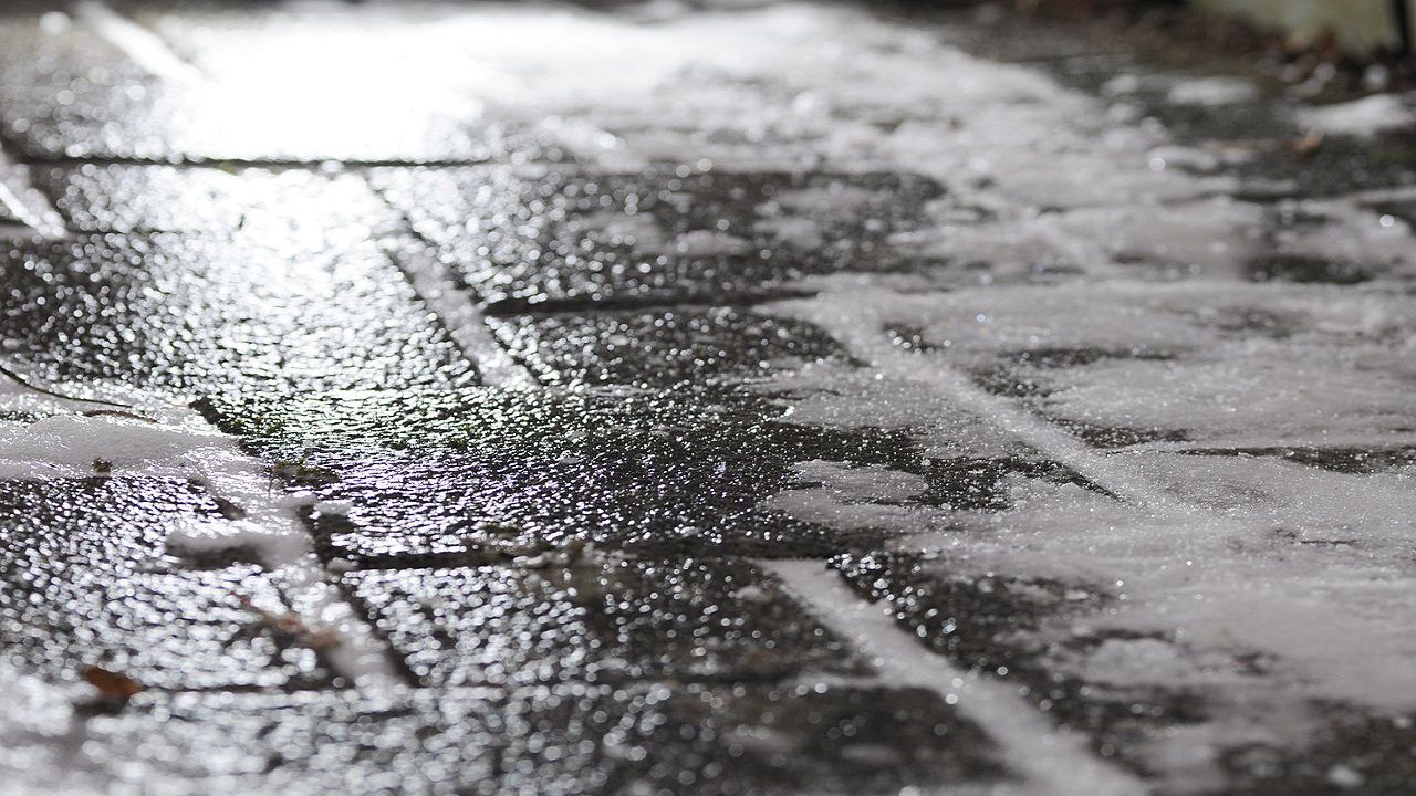
Sunshine and milder temperatures certainly helped to kick the thaw up a notch or two on our Tuesday. However, all that water will re-freeze tonight thanks to very cold overnight lows which should fall all the way to near 20! So, be prepared for lots of icy roads again on Wednesday morning. Be safe!
Meanwhile, highs clouds are expected to overspread the Triad by Wednesday afternoon. Though no rain is anticipated, reduced sunshine will mean another chilly day with highs holding in the 40s. Furthermore, similar weather conditions continue for Thursday.
Another large storm system is scheduled to arrive to our region by the end of the week. This storm will take track farther north of the Carolinas and that means all rain is forecast at this point. That said, heavy rain will likely impact the Triad much of Friday and even early Saturday. An inch or two of rain seems likely for most and that could cause some serious flooding issues over the weekend, especially considering heavy snow melt over the next few days.