


RALEIGH, N.C. -- There will be quiet weather Saturday, but get ready for wintry weather this weekend.
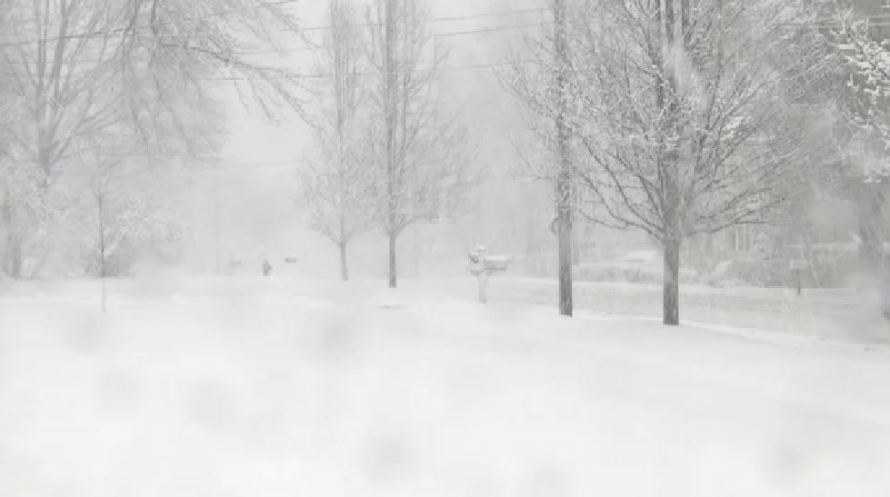
A Winter Storm Warning is now in effect for most counties of the Triad including Alamance, Forsyth, Guilford, Davie and Davidson. A Winter Storm Watch is in effect for areas of the Triangle including Wake Co. and Durham Co.
Triad/VA Bordering Counties
TIME: Looks to start as snow Sunday morning, with a wintry mix Sunday into Monday
SNOW TOTALS: On the low end 4"-6" with 8"-12" looking very possible.
ICE: A few tenth of an inch possible, making for dangerous road and walkways
*Winter Storm Watches and Warnings up for the Triad
Triangle/Sandhills
TIME: Rain could start late Saturday night in the Sandhills. Sunday morning would be the best chance to see any snow, then turning over to a wintry mix/cold rain Sunday PM-Monday
SNOW TOTALS: On the low end dusting to an inch, but 1"-3" for the Triangle/Sandhills and 4"-6" north and west of the Triangle not out of the question.
ICE: A glaze could form on top of snow or freezing rain cold occur, making for dangerous travel especially Sunday night into Monday