


We remain in a very chilly weather setup here for our Wednesday.
A potent disturbance continues to roll through the Carolinas and offshore today. That disturbance brought a healthy round of mountain snow last night into this morning, and a few flurries even made it eastward into other parts of the Carolinas.
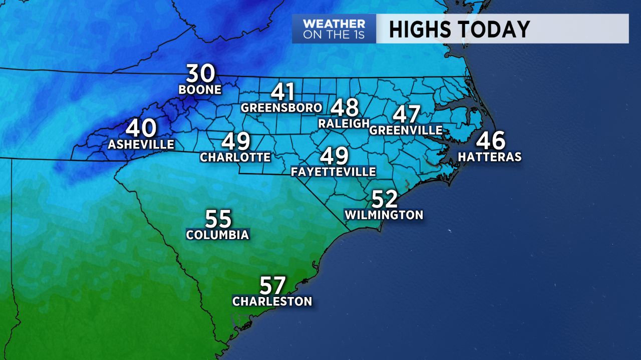
However, the big weather story today is the chilly weather. Highs will struggle to hit the lower 40s in our area, and we will have a rather stiff northwest wind through the day. That will make for a real chill in the air for our Wednesday. Lows will then drop into the 20s tonight.
Thursday and Friday will be much milder with highs around 60.
Over the weekend, a rather weak storm system will move through. I do expect a few weekend showers, but at this point, I don't anticipate anything that resembles a washout. A better rain chance is looking likely later Monday or Monday night.