


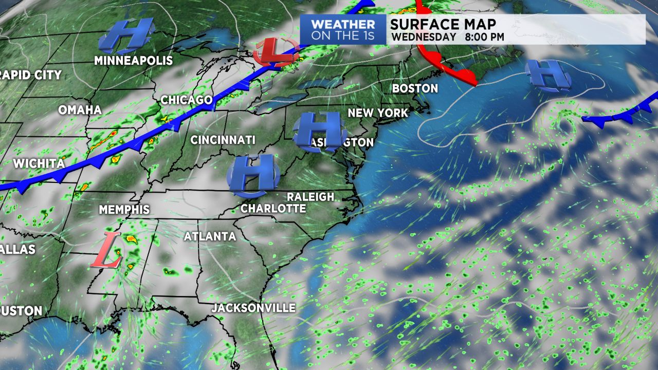
We march on with this warm, humid, late-summer weather pattern for the next few days as what's left of Tropical Storm Gordon remains well to the west of us. A cold front sagging southward over the weekend may bring an increase in storm chances.
Expect another day in the mid to upper 80s and low 90s Wednesday with isolated chances for afternoon showers and storms along a persistent easterly flow. Thursday into Friday will feature very similar weather before a cold front begins moving in from the north late Friday into Saturday.
With the approach of this front, we'll look for an increase in storm chances over the upcoming weekend. Temperatures won't cool down to terribly much, however, as this front will lift back northward early next week. Highs will remain in the mid and upper 80s over the next several days.
Tropics: We will be keeping a close eye on what is now Hurricane Florence this weekend. While there is still plenty of divergence in model solutions and uncertainty regarding Florence's track, some models are hinting towards the fact that it will make a close run near the Outer Banks late next week. Stay tuned!
Get the latest news, sports and weather delivered straight to your inbox. Click here to sign up for email and text alerts.