


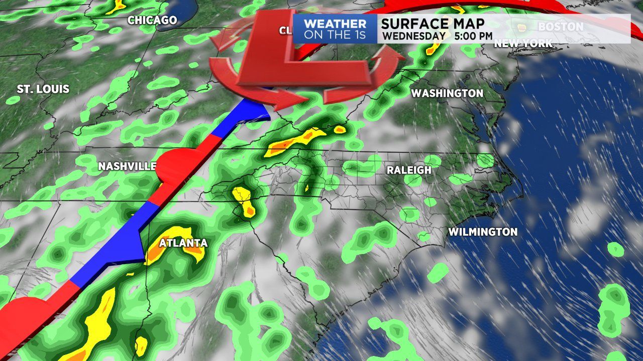
WILMINGTON, N.C. -- Yes, more wet weather is on the way as we look ahead to the back half of our workweek.
- After a soggy morning and early afternoon, eastern North Carolina will look to remain mostly dry this evening and tonight
- Wednesday through Friday will feature scattered showers and storms during the afternoon
- Drier weather for the weekend
A large area of high pressure over the Atlantic is expanding west closer to the east coast. This is pushing the steady stream of tropical moisture inland. That's why western North Carolina, eastern Tennessee and the Virginia are experiencing more rainfall today compared to early in the week.
After a soggy morning and early afternoon, eastern North Carolina will look to remain mostly dry this evening and tonight. Expect partly cloudy to mostly cloudy skies with isolated showers.
The vast majority of the N.C. coast will be dry overnight as lows fall into the low to mid 70s.
Wednesday through Friday will feature typical early August weather. This means we'll deal with scattered showers and storms during the afternoon. By sunset storms begin to lose steam and we'll fall into a quiet night.
High pressure will move in through the weekend and settle over the region early next week. This will mean drier weather but not a complete end to our rain chances.
Next week thanks to warmer temperatures and adequate moisture expect pop-up, hit or miss storms during the afternoon Monday and Tuesday.