


Wednesday's hot weather was in advance of a cold front settling south across the state.
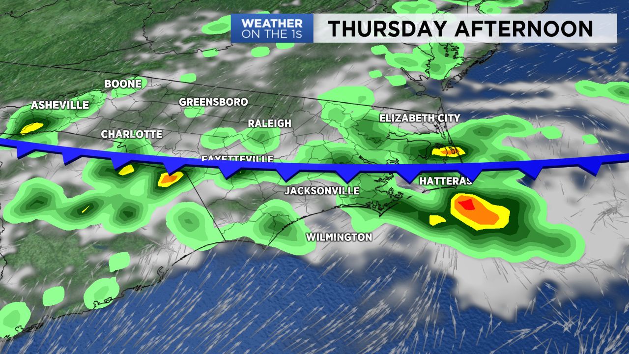
The cold front will bring the best chance for showers and thunderstorms across northeastern North Carolina through the overnight hours.
A few of the storms could produce locally heavy downpours and frequent lightning and could continue into the pre-dawn hours.
As the front slowly moves south across the state Thursday scattered storms are possible, mainly in the afternoon, especially across the central and southern coast plain.
The front will bring slightly cooler temperatures for the last half of the week with highs in the mid 80s to near 90 from Thursday into the weekend.
Get the latest news, sports and weather delivered straight to your inbox. Click here to sign up for email and text alerts.