


A passing cold front created a thunderous Thursday for many along the coast. Thankfully the front will continue to dive south tonight and once we're fully behind it, we'll all have a calmer setting. Lows tonight will remain mild as skies clear. Temperatures overnight will drop into the upper 60s.
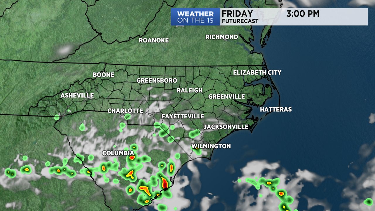
High pressure will build in from the northwest as the cold front sits to our south over South Carolina. Due to it still being in the area, a stay shower during the afternoon cannot be ruled out for southeastern areas like Elizabethtown and Wilmington. The good news is the chance of rain is lost and many will enjoy a mostly sunny with highs ranging from the upper 70s to mid 80s. The cooler setting is due to northerly winds behind the cold front.
Sunny skies will hold steady as we glide into the weekend. High pressure will shift east and sit just offshore. This will cause winds to shift and become southerly. Southerly winds through the weekend will cause a warming trend and sadly increase our rain chances too. Saturday looks to be the dryer day this weekend. Temperatures will range from the upper 80s to low 90s during the afternoon. Expect mostly sunny skies Saturday and mostly sunny to partly cloudy skies Sunday. Sunday will likely include isolated to scattered storms during the afternoon hours. A few storms may produce strong wind gusts and heavy rainfall. Widespread severe weather is not a concern.
After the weekend temperatures will continue to climb. Afternoon highs Monday through Wednesday will range between the low to mid 90s. Heating through the day will likely lead to a few storms each afternoon so keep your umbrella within arm’s reach just in case!
Get the latest news, sports and weather delivered straight to your inbox. Click here to sign up for email and text alerts.