


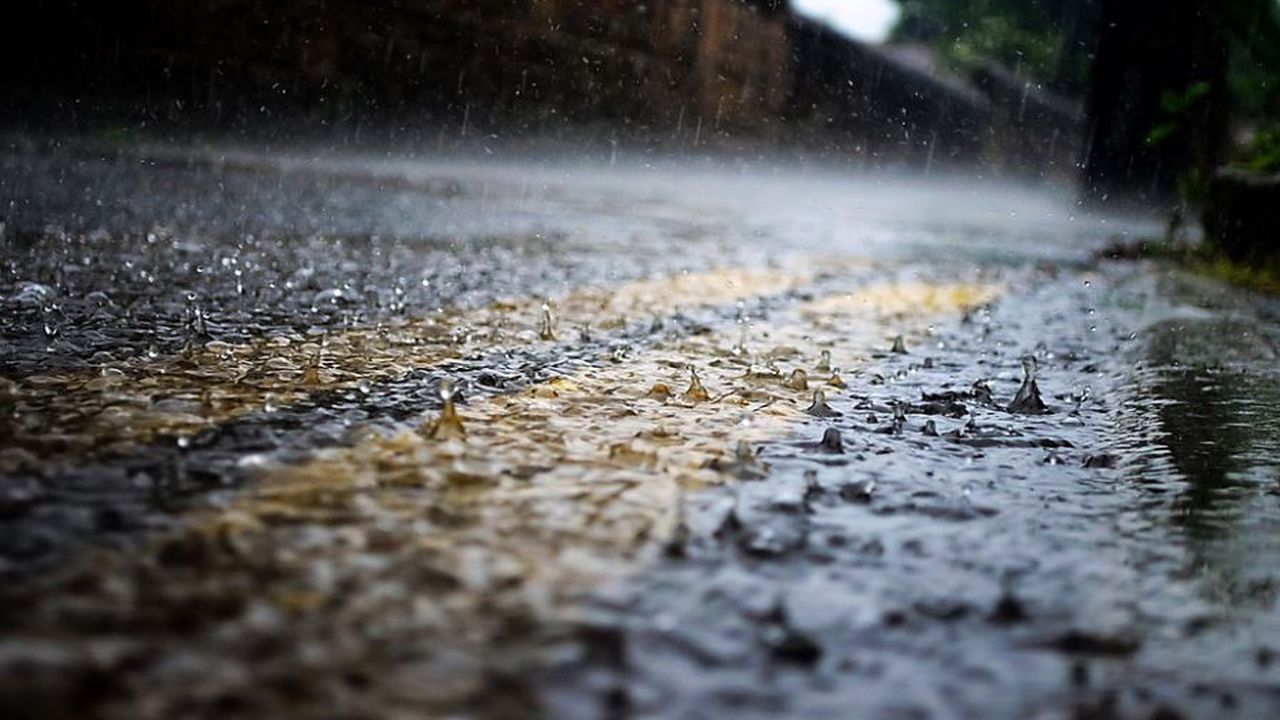
Rain will be steady to pockets of heavy, at times, from the mountains and out across the western Piedmont tonight. Areas of dense fog could reduce visibility on area roads.
The "wedge" that was in place Monday and most of Monday night, should scour out as a warm lift across the area later Tuesday morning and early afternoon. Provided, said wedge, does depart, winds will shift to a SW flow, and we should hit the mid 60s for Highs Tuesday.
A cold front could bring a line of heavy rain, gusty winds and a few rumbles of thunder Tuesday evening. Once the boundary is East, and out, we'll clear out quickly early Wednesday morning for a few days.