


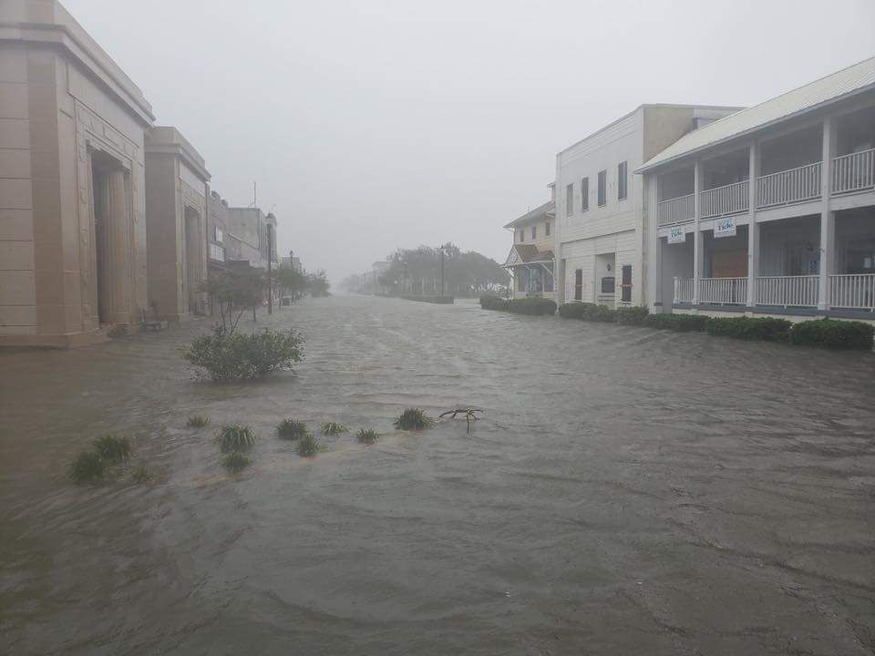
Florence made landfall just after 7:00 a.m. Friday as a category 1 hurricane with sustain winds at 90 mph. Gusts were recorded at Wilmington International Airport at 105 mph. That's the strongest wind gusts recorded their since Hurricane Hazel produced 135 mph gusts back in 1958.
Since making landfall, Florence has claimed lives and caused widespread damage. According to authorities, a tree fell on a home in Wilmington claiming two lives and injuring a third person. More details on this tragic incident to come. The Father was transported to an area hospital with injuries. With that in mind we continue to urge everyone to remain weather aware.
Severeal tornado warnings have been issued with funnel clouds spotted in areas like Spring Hope in Nash County. Looking ahead, heavy rain, strong winds and the low chance of tropical tornadoes will remain as Florence slowly moves over the Carolinas.
Based off the latest data Florence will continue to move west and southwest into northern South Carolina, gradually weakening. Through the weekend will watch Florence likely downgrade to a tropical storm, but still producing widespread heavy rain and strong wind gusts. Flash flooding and river flooding will remain a huge area of concern. Over the next 5 to 7 days, rainfall forecast call for many areas to reach double digits.
- Wilmington Area: 20-30"+
- Raleigh Area: 5-10"+
- Fayetteville Area: 15-20"+
- Greensboro Area: 5-10"+
- Charlotte Area: 10-15"+
These numbers are a forecast based off the latest data. These numbers have the potential to increase or decreasae based off how Florence maintains its strength an exact track. Regardless be mindfull of your surroudings as most of the Carolinas will receive a good showing of rain through the weekend.
Strong wind gusts will remain possible. Wind will likely range between 30 to 60 MPH for areas like the Triangle and the Sandhills Friday night into Saturday. Farther west, expected winds are even lower. For the Triad-Greesboro, and Charlotte area expect winds between 20 to 40 mph. Stronger wind gusts are possible for all locations and that may lead to scattered power outages.
Given how wet our grounds, some trees may not need the strongest gusts to be blown down. Same could be said for powerlines. We've already had several power outages across eastern and central North Carolina and that possibility will remain through Saturday. So make sure you're prepared just in case you lose power tonight or anytime during the day Saturday.