


CHARLOTTE, N.C. -- Heat and humidity are building back into our region Tuesday.
- Wednesday, high temps should land in the mid 90s for the Charlotte region
- Scattered showers and storms Thursday
- Friday looks dry with a few pop up showers and storms possible
We'll get a solid feel for Summer on Wednesday with a few mountain showers and storms possible. As of this posting, I wouldn't rule out a pop up storm, late in the evening, across the Piedmont.
Wednesday, high temps should land in the mid 90s for the Charlotte region and lower 80s in the High Country.
A front will be lingering across SC Thursday. It appears, that it will be close enough to act as a trigger for scattered showers and storms Thursday afternoon and early evening.
The best zone will be the geographical area closest to the front. If further South than expect, we may not see as wide spread of numbers in terms of showers and storms.
Friday looks dry with a few pop up showers and storms possible each day through the weekend.
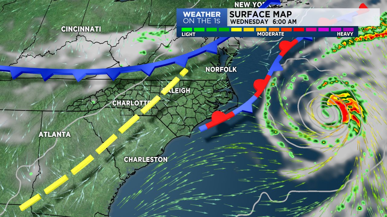
Tropical system Chris will continue moving away from the NC coast. Chris did intensify to hurricane status Tuesday afternoon. This is the second hurricane of the Atlantic basin season thus far. Remnants of Beryl will need to be watched the next few days.
Get the latest news, sports and weather delivered straight to your inbox. Click here to sign up for email and text alerts.