


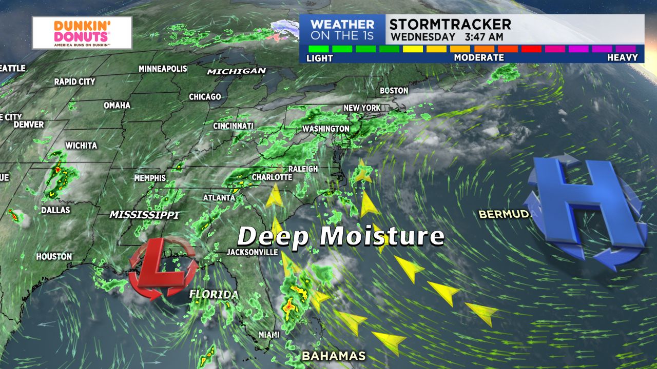
The rainy, cloudy weather pattern that kicked off Tuesday will continue through Wednesday and at least for the week or so, bringing daily shower and storm chances across western North Carolina.
- Daily shower chances will continue for at least a week.
- Abundant cloud cover will be present.
- Highs will be near average with temps in the upper 70s and lower 80s range in the Charlotte area.
Wednesday will be fairly similar to Tuesday in terms of weather. Expect another day of abundant cloud cover with a better chance for showers and a few late afternoon/evening storms. So, for those attending today's teacher rally in Charlotte, make sure to pack the umbrella! Highs will be near average, with temperature likely topping off in the upper 70s to low 80s range and upper 60s to low 70s in the mountains. This will be the case through the upcoming weekend thanks to abundant cloud cover and a constant stream of moisture out of the south.
Thankfully, although we'll have the potential to see a few storms pop each and every day for the next week, the severe threat -- at least into the end of this work week and the weekend -- should remain low. Rainfall totals over the next five days should make a decent dent in the rainfall deficit we've endure so far for the month of May -- good news there! Expect anywhere between 2" - 4" with locally higher amounts.