


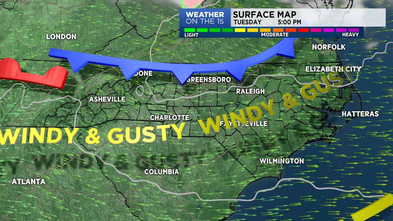
We had noticeably colder temperatures Monday as compared to the warm, moist and severe weather air mass we dealt with on Sunday. Gusty winds will diminish for a period of time overnight, but, expect active winds again Tuesday later morning and afternoon. A frost advisory has been issued for early Tuesday morning across the region.
I look for dry conditions and warming temps as the week unfolds. Mid 60s Tuesday with highs near 80 on Wednesday. Temps will modify into the mid 70s Thursday and then mid 60s by Friday.
We'll turn cooler and cloudier late into the weekend. Rain possible later Sunday.
Our mountain counties will continue with some periods of light snow tonight and then sunshine is back Tuesday. A freeze expected tonight with warming temps Wednesday.