


Friday was our transition day for this dramatic mood swing sort of winter we are having. Warm temps, heavy rain and gusty winds, were the norm through the afternoon and early evening hours.
As we head overnight, the mountain winds will really pick up and some snow is expected with the northwest flow.
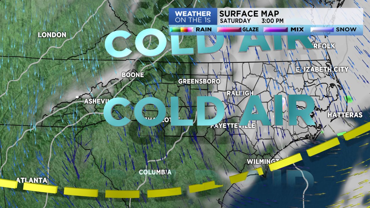
Cold air starts arriving across the region and high temps, for Saturday, will be set in the wee hours of the morning. A gradual clearing process will play out for the Piedmont with our mountain counties having to wait until Saturday evening.
We expect another cold front later Tuesday of next week. This will bring a reinforcing shot of even colder temps our way for a few days.
As of this post, modeling was showing some chance for snow Tuesday night and Wednesday of next week. We'll see if those models hold onto the snow concept through the weekend and early next week. No certainty in the forecast just yet, but, keep tracking with our weather team.