It seems like we can't go more than a few days without a report of a tornado, even from the most mundane of thunderstorms.
Is this typical for St. Louis or are we seeing an increase in tornadoes this year?
The forecasting area includes the 46 counties the National Weather Service in St. Louis has responsibility for and spans across east central Missouri and west central Illinois.
Through June 8, 2025, the preliminary tornado count is up to 43 across the region. This number is more than twice the annual average.
Preliminary tornado reports are not the same as actual tornadoes.
“In real-time, the National Weather Service collects what are called preliminary local storm reports. For tornadoes, these can be thought of as eyewitness reports of the tornado,” explains Matthew Elliot, warning coordination meteorologist at the Storm Prediction Center.
Reports such as damage or video of a tornado are documented, showing the location of the damage and tornado. Each report will count as one tornado preliminary report.
However, Elliot mentioned that sometimes there may be multiple reports of the same tornado, especially longer-track ones, leading to overestimated tornado counts.
“Some preliminary reports end up not being tornadic after a ground survey has been completed while others are surveyed and entered into the official database, but never have a preliminary local storm report issued,” he said, noting that’s rare, but it does happen.
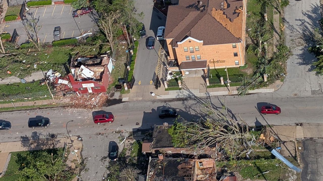
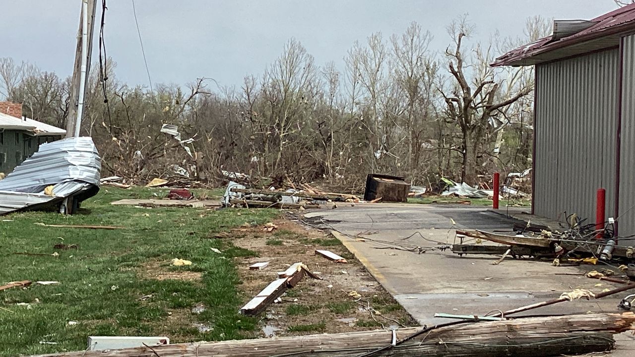
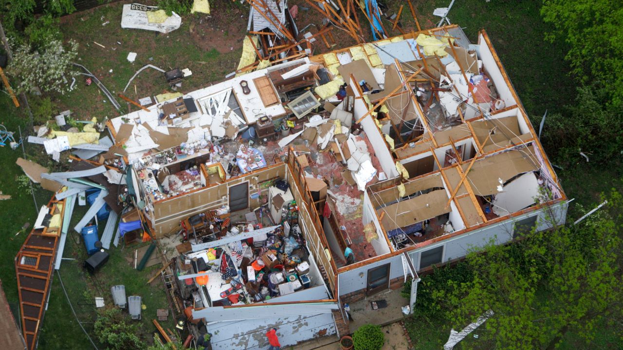
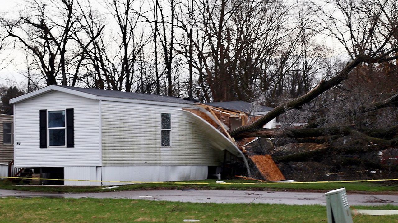
This year has been the exception. The National Weather Service in St. Louis has observed more than twice the annual number of tornadoes. What’s even more impressive is that 28% of the total 2025 tornadoes have been rated EF2 or higher. The tornado that touched down on May 16, 2025 in Clayton and moved through North St. Louis City was rated an EF3.
To contextualize the strong tornado (EF2+) statistic, Meteorologist Matthew Beitscher with NWS STL explains how anomalous this is. “Since 1990, our 46 counties have seen 91 strong tornadoes (not including 2025), averaging roughly three per year. We’ve had 12 so far, four times the average.”
The year with the most number of tornadoes in St. Louis was 2006, where 70 twisters were recorded. 2025 is more than halfway there with still six months to go.
With high impact tornado events this year, like March 14 and May 16, storm anxiety is real, and it seems like even non-severe thunderstorms can produce a tornado. How does this happen?
Meteorologist Brad Charboneau with the STL NWS explains that the recent events that prompted tornado warnings without the precursor watch or even a severe thunderstorm warning happens, it’s rare but it happens and local NWS offices don’t issue watches, that is reserved for the Storm Prediction Center (SPC).
“As for the Watch decision, generally speaking, SPC reserves watches for times when they expect more than just a few sporadic severe storms, and that wasn’t really expected that day,” referring to June 4 and June 7.
Adding, “We did have a bit of instability, but it wasn’t particularly high (500-1000 J/kg), and the lapse rates weren’t very favorable. For tornadoes specifically, there really wasn’t much low-level shear that day, which is something that tornadoes need to form in most cases.”
However, he said that the storms likely got just enough energy from a small-scale feature, maybe a boundary or even an enhancement from the low-level jet. Saying, “Those things happen from time to time and are very difficult to predict with much lead time, and once it was clear that these storms had the potential to produce a tornado, it was too late for a Watch to do much good.”
Emphasizing, “Not to mention, even though those mini-supercells persisted for a long time, all we saw out of them otherwise was one report of quarter-sized hail.”
“But this is a case where it’s going to take a more thorough analysis to go back and figure out exactly why that storm did what it did,” he says.
Best to have your notifications enabled so you can plan for the incoming inclement weather.
Our team of meteorologists dives deep into the science of weather and breaks down timely weather data and information. To view more weather and climate stories, check out our weather blogs section.
)