Today brings an elevated risk for severe weather. Already this morning, a cluster of thunderstorms is working across central and northern Wisconsin. A few could pick up small hail. Expect lightning with heavy rain.
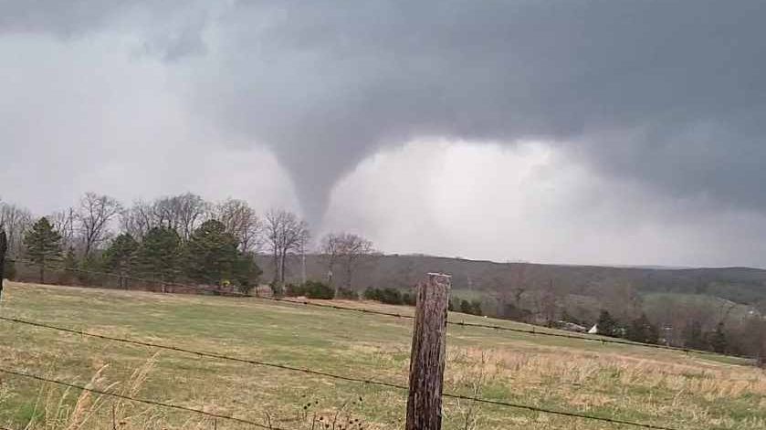
However, the main threat for severe weather should hold off until late afternoon and evening. Many could experience dangerous wind gusts (60+ mph) along with large hail. In addition, isolated long-track tornadoes may be possible in parts of the state.
Please stay alert and have a game plan. Make sure your cell phone is charged and volume is up as some of the worst storms arrive overnight.
Otherwise, Monday will see highs soar nearly 20 degrees above normal. Expect most to reach the mid to upper 70s with a few near 80 degrees.
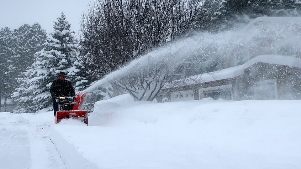
Storms will clear and temperatures will drop heading into Tuesday.
Look at Monday:

Check your local forecast | Send us your weather photos
Follow the "Weather On the 1s" Team on social media for the latest weather updates:
Meteorologist Brooke Brighton: Facebook | Twitter | Instagram | Threads l Bluesky
Meteorologist Jesse Gunkel: Facebook | Twitter
Meteorologist Kristin Ketchell: Facebook | Twitter | Instagram