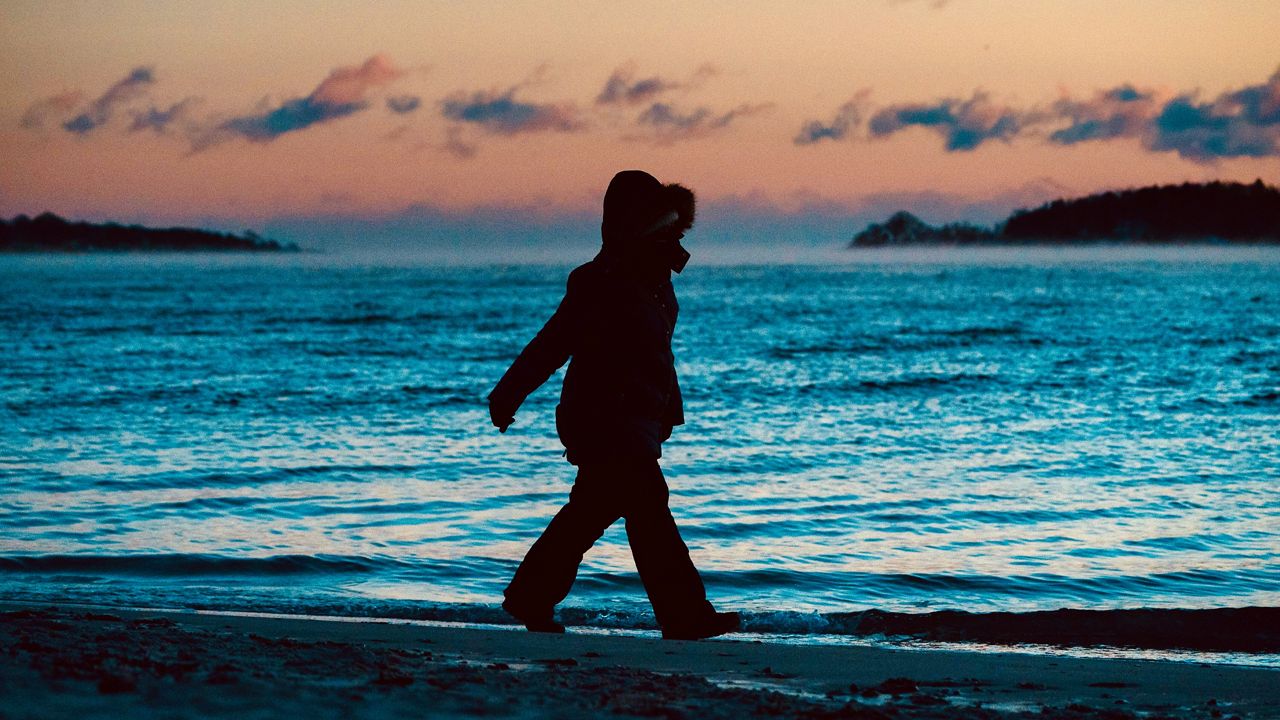


Maine will see the deepest cold of the winter so far on Monday night and Tuesday as a wave of arctic air brings a sub-zero forecast and dangerous wind chills to the region.
Much of Maine, New Hampshire and Vermont are under a Wind Chill Advisory through Tuesday morning, with a Wind Chill Warning covering parts of Oxford, Franklin and Somerset counties.
The extreme cold will bring dangerous conditions.
With a Wind Chill Advisory, there is a chance for frostbite in as little as 30 minutes for exposed skin. Where there is a Wind Chill Warning, frostbite could be caused at 10 minutes or less for exposed skin.
The majority of the state falls under the Wind Chill Warning — excluding the immediate coast and mountains. The warning will be in effect from 2 a.m. through 10 a.m. Tuesday. The Wind Chill Warning will be in effect from 10 p.m. Monday through noon Tuesday.
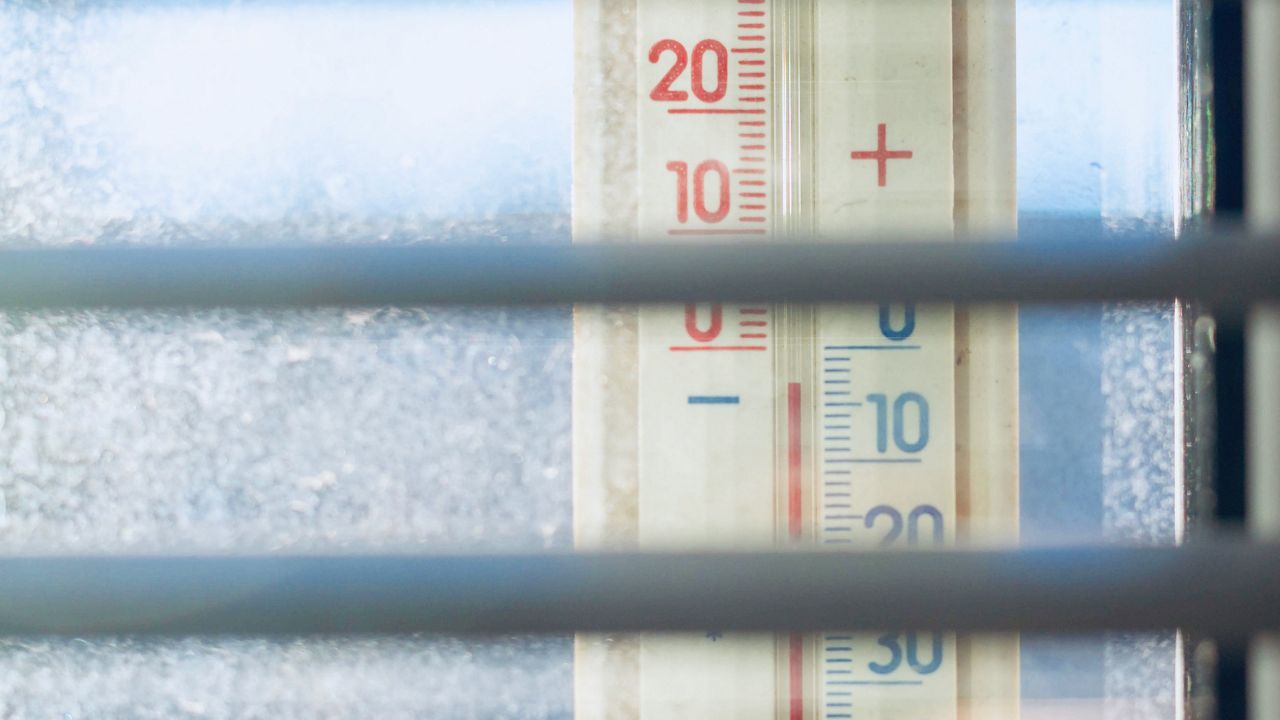
The coldest air in the state will be felt around 8 a.m. Tuesday morning. This will drop temperatures over southern portions of the state to 2 degrees, with a wind chill value of 16 below zero. Northern Maine will be much colder, with temperatures near 12 degrees below zero with wind chill values around -26.
Several cities have opened warming shelters for unhoused people to escape the dangerous cold. The Maine Emergency Management Agency lists six in Cumberland County, serving Harpswell, Scarborough, Falmouth and South Portland. Maine Housing also offers a list of emergency shelters throughout the state.
For the past four years, the Bangor Area Homeless Shelter has opened its day programs area for emergency overnight use during the winter months. With social distancing in place, they can house up to 24 adults between 6 p.m. and 5:30 a.m., in addition to their 32 normal shelter beds.
Shelter executive director Boyd Kronholm said the emergency warming space has been full most nights this year. Shelter officials work with the nearby Brick and Mansion churches to shelter up to 50 more people who need respite from the cold when the shelter is full.
“Some folks … don't want to come to a shelter bed, but nights like this, it’s a life-threatening danger,” Kronholm said Monday. “We opened up a space like this just to get folks off the streets.”
People who use the overnight shelter don’t have to meet the normal substance-free rule for a full-service shelter bed, and can get access to social services while at the facility. Kronholm said masks are required and other COVID-19 precautions are in place.
The city of Portland is working with many other local organizations to provide extra shelter during the cold weather advisory. The First Parish Church on Congress Street will be open as a warming shelter from 8 a.m. to 5 p.m. Wednesday, and staff there will work to ensure people who come in have shelter overnight.
MEMA says in a press release that residents with questions about cold snap services can call 2-1-1. They say people are reminded to operate home heaters safely, keep pets indoors overnight and never leave kids or pets in an unheated car in the winter.
This kind of cold is not highly unusual in a Maine winter, and January is often the coldest month of the year across the region. Winter is also the fastest-warming season due to climate change, and winters in the Northeast are warming faster than anywhere else in the country.
Still, temperatures have dropped into the single digits in Portland multiple times late each January in the past three years. And around New Year’s Day in 2018, a lengthy cold snap set single-day records across New England.
The lowest January temperature on record for Portland, according to the National Weather Service, is 26 below zero in 1971. Clayton Lake, in Aroostook County, saw Maine’s coldest-ever temperature at -50 in January 2009, tying a record set in Vermont decades earlier.
Normally, Portland averages in the mid 20s during January, with typical highs in the low 30s and lows in the upper teens. Normal temperatures get a few degrees colder from the beginning to the end of the month. Augusta sees similar weather, but a few degrees colder.
Those “normals” are based on records from 1991 to 2020, when the most concentrated effects of global warming and greenhouse gas emissions have been documented. This trend also brings more extremes in weather, both hot and cold, meaning states like Maine can see snow and bitter cold snaps as well as unseasonable warmth and quick thaws in rapid succession.
Data analysis by the nonprofit Climate Central shows Portland’s winters have warmed more than 5 degrees on average since 1970, while its longest periods of below-normal temperatures have shrunk by nine days. Portland’s annual low has risen more than 10 degrees on average.