LOUISVILLE, Ky. — After tornadoes touched down across parts of the commonwealth Sunday, more severe weather is expected later this week. Storms are expected to dump several inches of rain starting Wednesday, bringing with it a concern for widespread flooding.
The National Weather Service is forecasting six to10 inches of rain through the end of this weekend, nearly the entire state could see excessive rainfall.
Louisville leaders are saying prepare now.
“Please make sure you know where your flashlights are. Your phones are fully charged before a weather event is expected. And importantly, please sign up for LENSAlert. That’s 67283,” said Louisville Mayor Craig Greenberg, D-Louisville.
Greenberg also stated the city will open its emergency operations center Wednesday, and will keep it open as long as it’s needed.
Greenberg said people should have multiple ways to receive updates. Recommending people sign up for the city’s LENSAlert system. Weather radios are also a solid option.
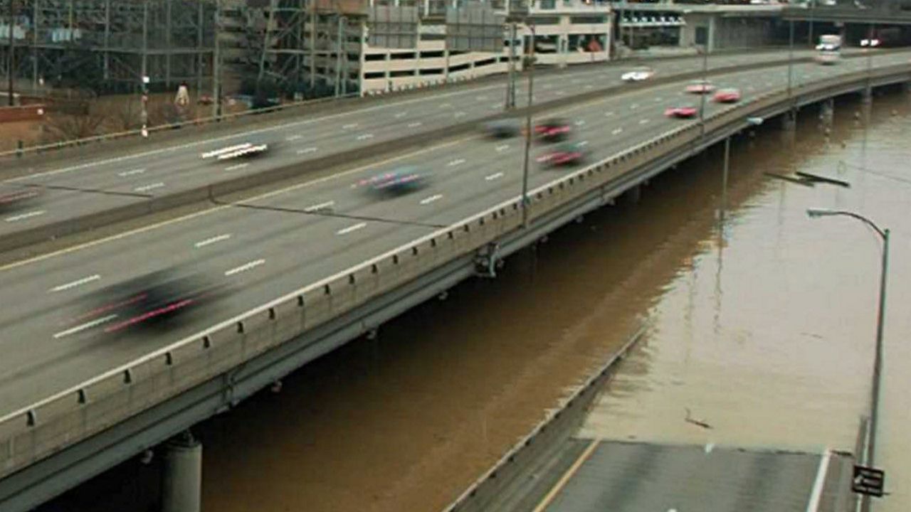
At this time, the mayor said they are not planning to close the city’s flood walls.
“No, we’re not expecting at this point. But again, as Jody [Meiman, executive director of Louisville Metro Emergency Services] just said, we’ll continue to work with the Army Corps of Engineers, will be monitoring river levels. At this point, we don’t expect anything with the Ohio River flood walls to go in.”
The last time the Louisville area saw 10 or more inches of rain was in March 1997. Historic levels of water inundated the city, triggering thousands of evacuations and affected 50,000 homes.


