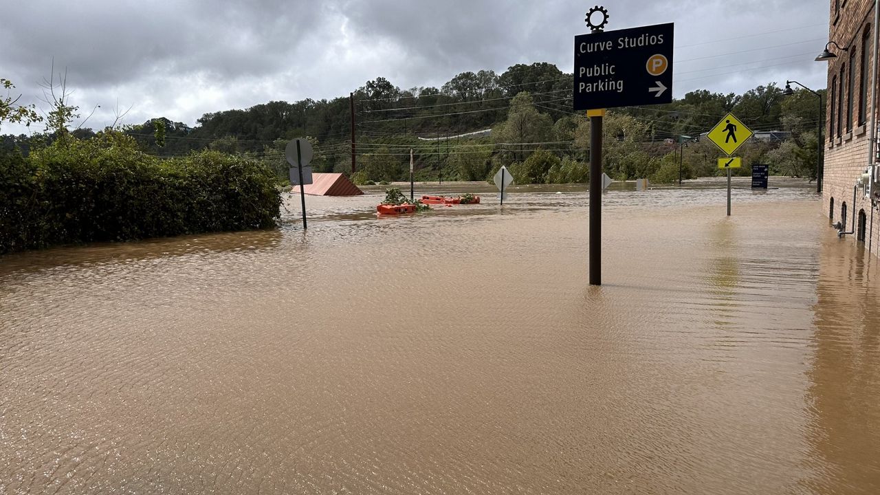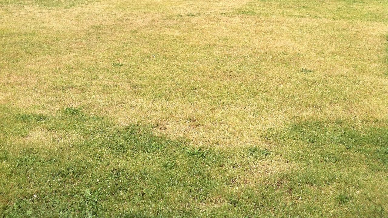
Most of the Commonwealth has been lacking significant rainfall over the last month and it is showing.
While we have seen a few rain events across the state this month, they have been few and far between. Even when we have seen measurable rainfall, it hasn't added up to much.
Check out some of the rain totals across the state this month.
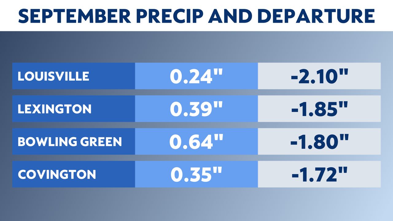
Of the four climate sites above, Bowling Green has seen the most rain at 0.66 inches, which is almost two inches below normal.
The driest spot has been Louisville, with just under a quarter of an inch so far this month.
Lexington and Covington have been similar, with just over a third of an inch of rainfall.
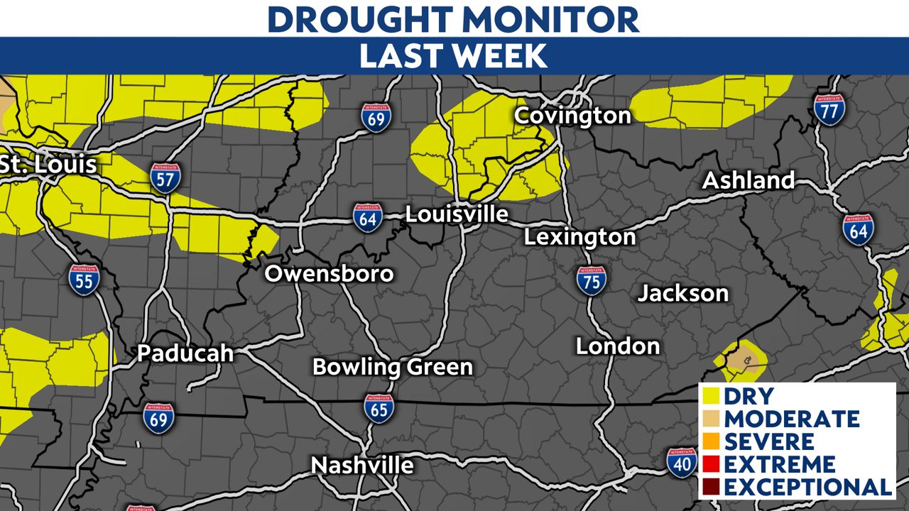
We saw some signs of abnormally dry conditions on last week's drought monitor update, as you can see below. Abnormally dry conditions represent areas showing dryness but are not in drought yet. Think of it as a precursor to drought.
The updated drought monitor below (released Thursday, Sept. 21) shows a large expansion of the dry conditions across the state.
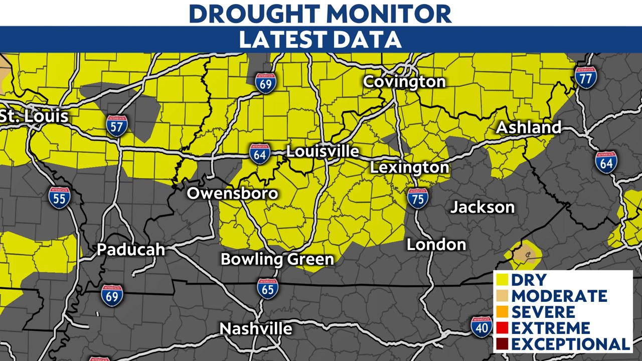
Unfortunately, there is not a lot of rain in the forecast, which means we may see areas of moderate drought show up across the Commonwealth. The next best chance to see rain across the state will be by the middle of next week.
Our team of meteorologists dives deep into the science of weather and breaks down timely weather data and information. To view more weather and climate stories, check out our weather blogs section.