
A new tool developed by a research team at the University of Hawaii at Manoa will help predict coastal flooding on West Maui, according to a news release.
The mapping tool, known as The West Maui Wave-Driven Flooding With Sea Level Rise, uses wave amplitudes and wave direction at a variety of water levels to make predictions.
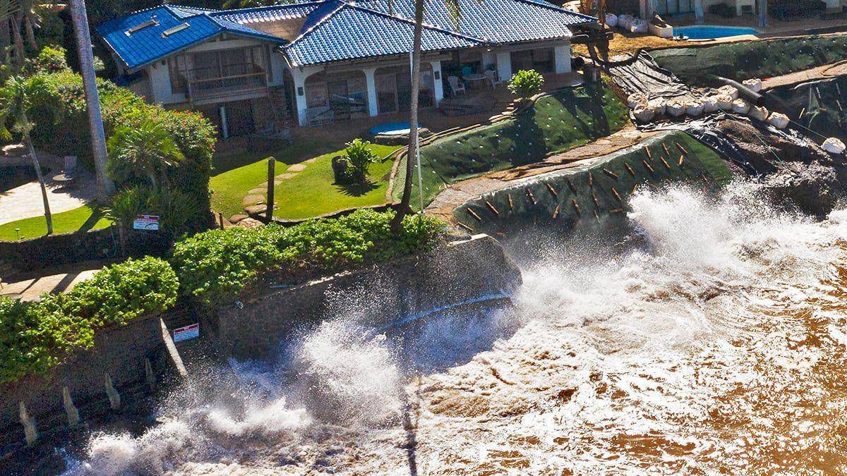
Coastal flooding is impacted by sea-level rise, high tides, large waves and oscillating ocean heights, which is partially altered by El Niño. In recent years, Hawaii has experienced an increase in coastal flooding, and this is expected to be exacerbated with climate change.
Flooding events can cause erosion, damage to properties and changes in water quality due to sediment.
The interactive map will be useful for residents, property owners, businesses and state and county officials.
For anyone interested in learning more about the tool, there is an event on Aug. 30 from 4 to 5 p.m. Register online to gain access.
Michelle Broder Van Dyke covers the Hawaiian Islands for Spectrum News Hawaii.