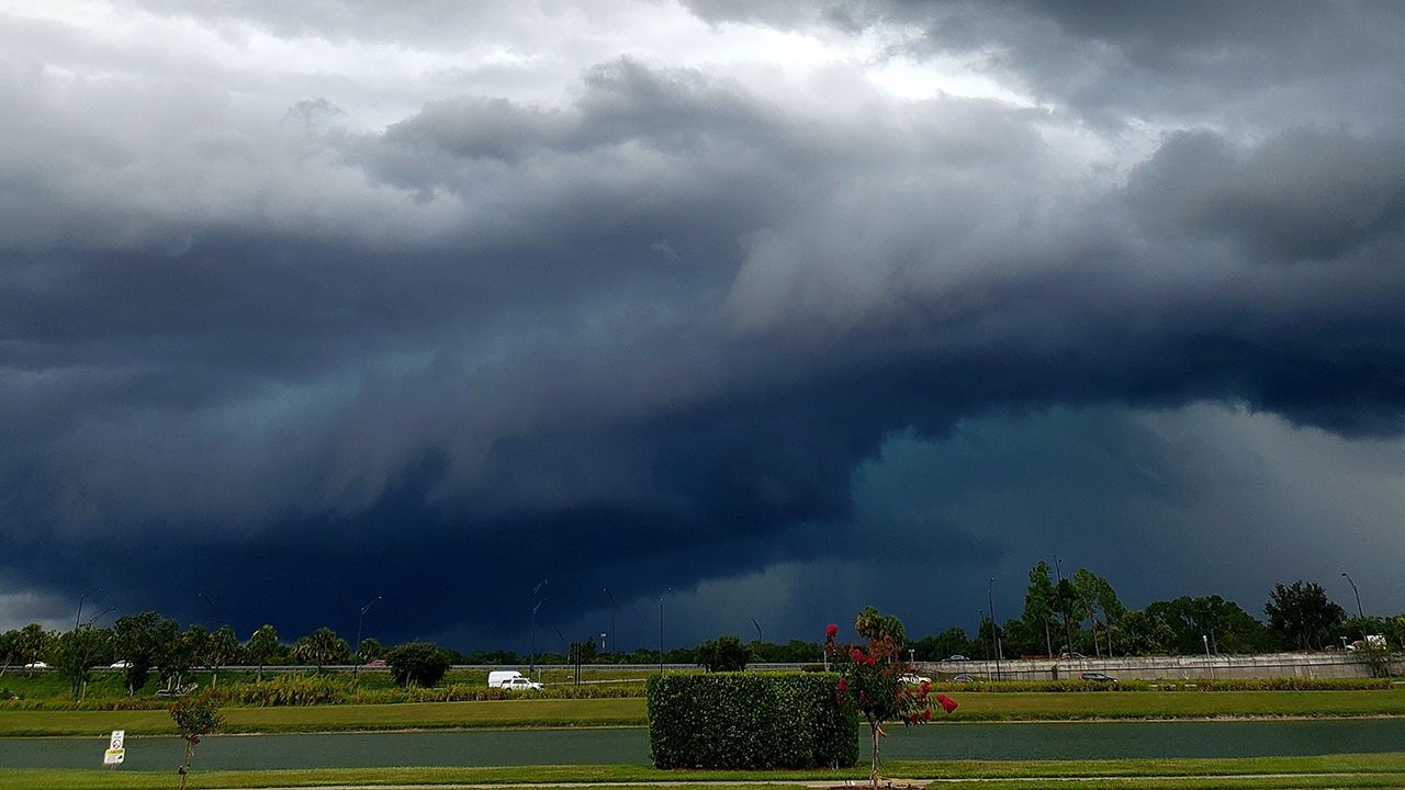
A pretty powerful storm system is approaching Ohio and will result in an elevated risk of severe weather later this afternoon and evening.
Look at the outlook for severe storms for this Monday:

As of 9 a.m. Monday morning, the associated cold front with this system provided the Indianapolis metro area with a line of severe storms. While some of this may hold together moving into western Ohio, it's the redeveloping storms this afternoon that will affect us the most.
Morning clouds for much of the state will give way to at least some sunshine early in the afternoon. This sun acts like "fuel to the fire," providing more instability and a means for pop-up storms.
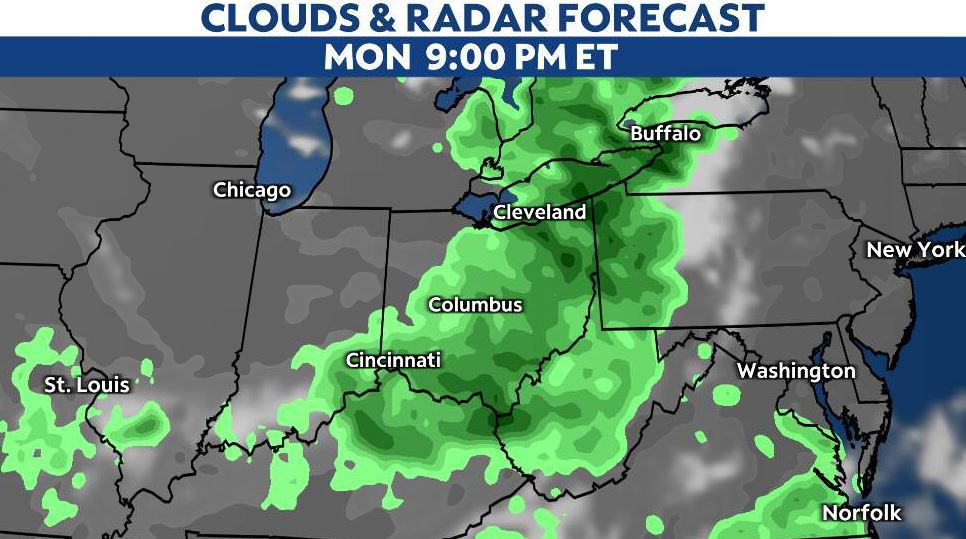
The first round in western and central Ohio will arrive after 3 p.m. and last into the evening commute. This will be for areas near and around the Cincinnati, Dayton and Columbus metros.
As the true cold front arrives later on, more rounds of storms will blast through the state, with central and eastern areas affected by 8 p.m. through midnight.
The primary threats will be gusty winds, heavy rain, hail and an isolated tornado. The best chance of any tornado threat (even as little as it may be) will be south of I-70.
By early Tuesday morning, the front will pass, and we'll be well on our way to a cooler and more comfortable Aug. 2.
Stay with the Spectrum News 1 Weather Team as we continue to track storms and the threat for severe weather.