
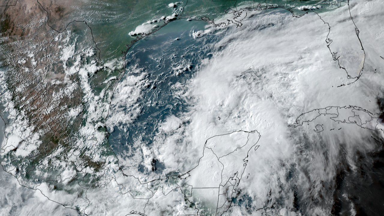
A disturbance that's been lurking in the Gulf of Mexico for days has finally become Tropical Storm Claudette.
Claudette, the third named storm of the season, is moving north toward the U.S. Gulf Coast. Its exact path remains uncertain, but trends suggest it will make landfall late Friday night or early Saturday near Louisiana. Impacts will begin ahead of landfall, however.
[TRACK IMAGE]
At this time, it appears that rainfall will be Claudette's biggest problem. Heavy rain will be likely mostly near and to the east of its path. Rainfall totals of three to six inches, with higher amounts, will be common across eastern Louisiana, southern Mississippi, Alabama, Georgia and the Florida Panhandle. This will cause areas of flooding.
Depending on how the storm interacts with an incoming cold front, North Carolina may also see heavy rain as the remains of Claudette sweep to the east early next week.
The storm will also bring gusty winds as it moves inland, leading to localized tree damage and power outages.
According to Colorado State University meteorologist Philip Klotzbach, this is the fifth-earliest date for the third named storm of the Atlantic season since 1950.