


An Arctic cold front brought the coldest weather of the Fall to start the week. Early Tuesday, it was cold enough to produce a few snow pellets as an upper disturbance moved by aloft. As that impulse moves away, skies should clear by Tuesday afternoon.
Winds will stay gusty through the day with gusts 25 to 30 MPH. Highs will struggle to reach the upper 40s, but ‘feels like’ temperatures will stay in the 30s despite the sunshine.
Current Conditions | Radar | Travel Maps | 7 Day Forecast | Allergy
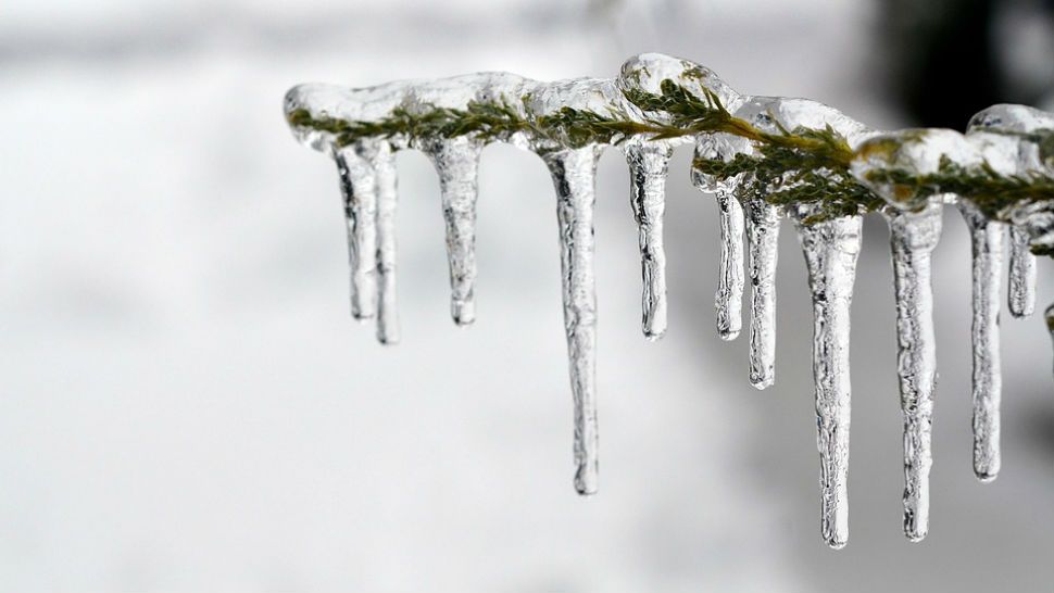
Tonight and Wednesday morning will be the coldest part of this winter outbreak. With diminishing winds, clear skies and very dry air in place, a hard freeze is likely areawide. Expect about two to three hours of sub-freezing temperatures which means you should protect your pipes, pets and plants. A Freeze Warning is in effect for the entire area through Wednesday morning.
Forecast low for San Antonio Wednesday morning is 28 degrees which would tie the record of 28 set in 1916.
A slow warming trend with dry conditions follows for the rest of the week. More details are in the Seven Day Forecast.
Dan Robertson
Twitter: @TexasThunderman
WEATHER ON THE GO: Download the Spectrum News app and watch our live stream no matter where you are!
GET WEATHER ALERTS: Sign up to receive weather text alerts from the Spectrum News Weather Team