


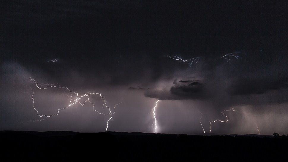
At long last, a taste of Fall weather is headed our way – but first some storms. Deep and strong low pressure extends from the Desert Southwest into the Texas Panhandle and a weak surface front has formed along the Texas-New Mexico border region. With deep moisture flowing in from the Gulf of Mexico, heavy training storms, some severe, have persisted along the Edwards Plateau and western Hill Country early Monday.
A few spots have seen up to six inches of rain in Edwards, Kimble and Real counties since Sunday night and heavy showers are expected through Tuesday. A Flash Flood Watch is in effect for those areas through Tuesday morning.
Current Conditions | Radar | Travel Maps | 7 Day Forecast | Allergy
For San Antonio, we expect widespread showers and a few thunderstorms Monday and Monday night. Highs will reach the middle and lower 80s and lows will drop into the middle 70s.
Tuesday afternoon and evening, the front will begin to push across the region with a few strong storms and brief heavy rain. Hail and gusty winds are the primary concerns. But behind the surface boundary, cooler drier air will filter in by Wednesday. Morning lows by Thursday might see the upper 50s and some low 60s. Afternoon highs will stay in the low 80s.
Another cold front approaches for the weekend with rain and even cooler temperatures. More details are in the Seven Day Forecast.
Dan Robertson
Twitter: @TexasThunderman
WEATHER ON THE GO: Download the Spectrum News app and watch our live stream no matter where you are!
GET WEATHER ALERTS: Sign up to receive weather text alerts from the Spectrum News Weather Team