


High pressure over the western U.S. continues to dominate the weather pattern. The high has shifted farther west so that Texas is on the eastern edge of the hot air dome. Along with an upper low over northern Mexico, a decent flow of Gulf moisture is streaming into the region.
This will produce widely scattered afternoon showers and a few thunderstorms through the afternoon. While the overall chance of rain stands at 20%, most of us might see cooler outflow winds from the showers.
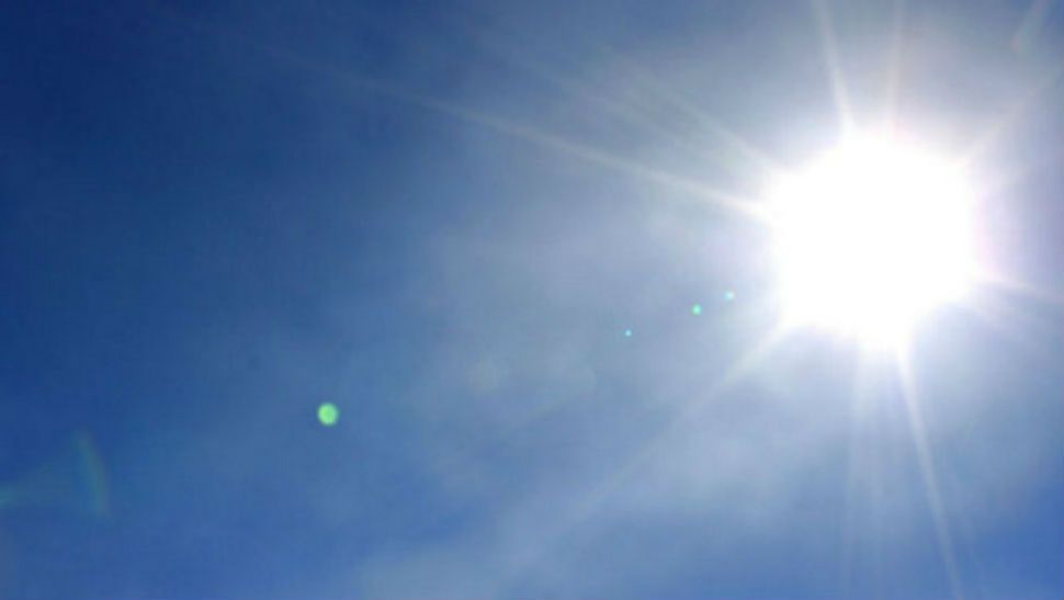
Hot weather will continue, but stay below Heat Advisory and Excessive Heat Warning levels. Look for afternoon highs to continue near 100 degrees with the Heat Index 101-104 through late week. Morning lows fall to the middle 70s.
Current Conditions | Radar | Travel Maps | 7 Day Forecast | Allergy
The high pressure will rebuild over Texas for a few days before a deep trough of low pressure works into the Central Plains. This will send a weak frontal boundary into Texas. Along with the front we’ll see a decent chance at some showers and thunderstorms late in the week. This will drop highs to the middle 90s for the weekend.
See the details in the Seven Day Forecast.
Dan Robertson
Twitter: @TexasThunderman
WEATHER ON THE GO: Download the Spectrum News app and watch our live stream no matter where you are!
GET WEATHER ALERTS: Sign up to receive weather text alerts from the Spectrum News Weather Team