


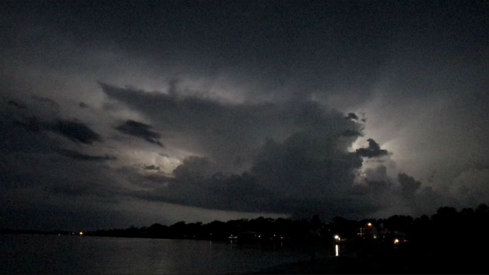
A broad and disorganized area of low pressure in the western Gulf of Mexico is moving on to the middle Texas coast, pushing deep tropical moisture into the region. While unlikely to develop into a tropical cyclone, this tropical wave will produce rounds of occasionally heavy rainfall all across the area for the next two days.
Heaviest rains will likely be between Corpus Christi and Victoria on the Texas coast, but the event will bring anywhere from one to three inches to areas along the I-35 corridor. Tropical rain showers are usually not severe but they can produce torrential downpours, gusty winds and frequent lightning.
Current Conditions | Radar | Travel Maps | 7 Day Forecast | Allergy
At this time, flooding is not a high concern due to the current very dry and moderate drought conditions across South Texas. But farther east some flooding is possible, mainly in DeWitt, Karnes and Gonzales counties.
With abundant clouds and rain, highs will be held in the upper 80s and lows will fall to the middle 70s through midweek.
Even though the heaviest rains are possible during the heat of the day, showers are likely through the overnight hours as well. Expect on-and-off periods of rain through Thursday.
Rains taper off starting Thursday. See the details in the Seven Day Forecast.
Dan Robertson
Twitter: @TexasThunderman
WEATHER ON THE GO: Download the Spectrum News app and watch our live stream no matter where you are!
GET WEATHER ALERTS: Sign up to receive weather text alerts from the Spectrum News Weather Team