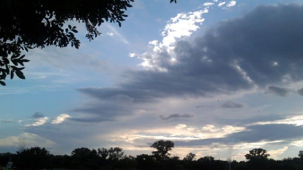
May of 2018 will go into the record books as the 3rd warmest in recorded San Antonio history, going back more than 130 years...and the heat wave continues for this first weekend of June! San Antonio hit 101 Saturday, breaking the record high of 100 set in 1990. Sunday & Monday are trending a few degrees cooler thanks to a few more clouds and a chance for isolated showers and storms...but temps will still be running above average for this time of year.
Current Conditions | Radar | Travel Maps | 7 Day Forecast | Allergy
Computer models continue to show a weak and rare June cold front stalling across Central Texas into Monday, keeping a chance for showers and storms in the forecast. A few brief, heavy downpours will be possible...something to plan for if you'll be spending time outdoors. Remember...when thunder roars, head indoors! *Even non-severe storms can produce gusty winds and small hail.
Highs will end up in the 90s Sunday & Monday, but unfortunately feel like temps will still range from 100 to 107 along and east of the 35 corridor.
WEATHER ON THE GO: Download the Spectrum News app and watch our live stream no matter where you are!
GET WEATHER ALERTS: Sign up to receive weather text alerts from the Spectrum News Weather Team
-Emily


