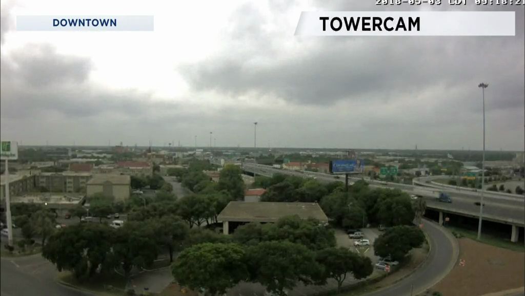
Only a trace to .01" has been recorded at area rain gauges since Monday. Still, the outlook continues a chance of showers and thunderstorms with the higher rain totals forecast to begin before daybreak Friday. Friday's weather will be overcast with these showers and thunderstorms off and on throughout the day. Based on the newest map models it looks like the rain wraps up before daybreak Saturday.
An upper-level low will move from Utah today to Colorado tomorrow. The low is providing a flow aloft from the southwest so that there is a plentiful amount of moisture coming from the Pacific. You already know there is a lot of surface moisture in place with the wind flow off the Gulf leading to Dew Points around 70. It's one of those days where you just about break a sweat as soon as you step outdoors.
Futurecast show storms drifting into Kerr and Bandera Counties as early as 4 to 5 a.m. Friday moving east through Kendall and Comal Counties between 7 and 9 a.m. Then, there will be times of showers and thunderstorms during the rest of the morning. The cold front is moving faster so it should arrive in the Hill Country during the morning, proceeding southeast to arrive in Bexar County during the afternoon. It pushes a line of thunderstorms through the area during the evening/night Friday. Present trends show the storms letting up after midnight to 1 a.m. Saturday.
So, with this rain on the way how much might we get? One model shows that for the San Antonio metro area a measurement of .73" is possible by Friday night at midnight. Rain totals of more than one inch are predicted for New Braunfels and Pleasanton ... and nearly two inches at Kerrville. A second model shows rain totals up to 1.50" in the metro area with the overall projection of around an inch at Pleasanton to nearly 2.50" at Kerrville.
For now, the Storm Prediction Center doesn't seem too concerned about severe weather. Our area is under that low MARGINAL RISK the rest of today through early Saturday morning.
The fact that the front is speeding up means that it will be out of the region by 3 to 4 a.m. Saturday. The day will dawn with a cloudy sky. Upper-level winds will be dry out of the northwest to sweep out the clouds during the late morning/early afternoon to leave a partly cloudy to mostly sunny sky by 2 to 3 p.m. Sunday will be bright and dry with warmer temperatures.
Find out more on the upcoming weather by seeing your 7 Day Forecast.
Have a good day.


