


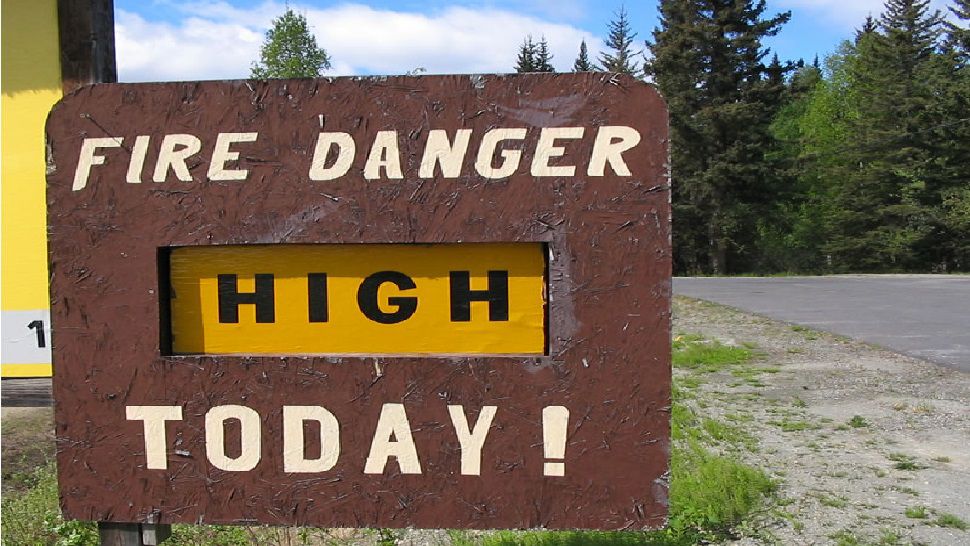
A dryline and cold front moved through South Central Texas last night with strong storms that produced heavy rain, small hail and damaging wind gusts. We're turning cooler, drier and windy today...and our weather concern today is rapid fire development with elevated fire weather conditions in place. Please be aware of your outdoor activities today, and no outdoor burning! A Fire Weather Warning is in effect for most of the area until this evening. Winds are expected to relax after sunset, picking up into early Sunday afternoon.
Current Conditions | Radar | Travel Maps | 7 Day Forecast | Allergy
Saturday highs will be cooler in the upper 60s to low 70s, falling into the upper 30s to low 40s Sunday morning....brr! You might need a jacket!
Sunday will be sunny and slightly warmer with highs in the mid to upper 70s. Highs are back in the 80s by the start of next week. Most of next week will be dry and breezy. A weak cold front moves in Wednesday into Thursday with a few scattered showers. Right now better rain/storm chances are setting up for the start of the weekend as a stronger storm system and cold front moves in. Check back for updates!
WEATHER ON THE GO: Download the Spectrum News app and watch our live stream no matter where you are!
GET WEATHER ALERTS: Sign up to receive weather text alerts from the Spectrum News Weather Team
-Emily