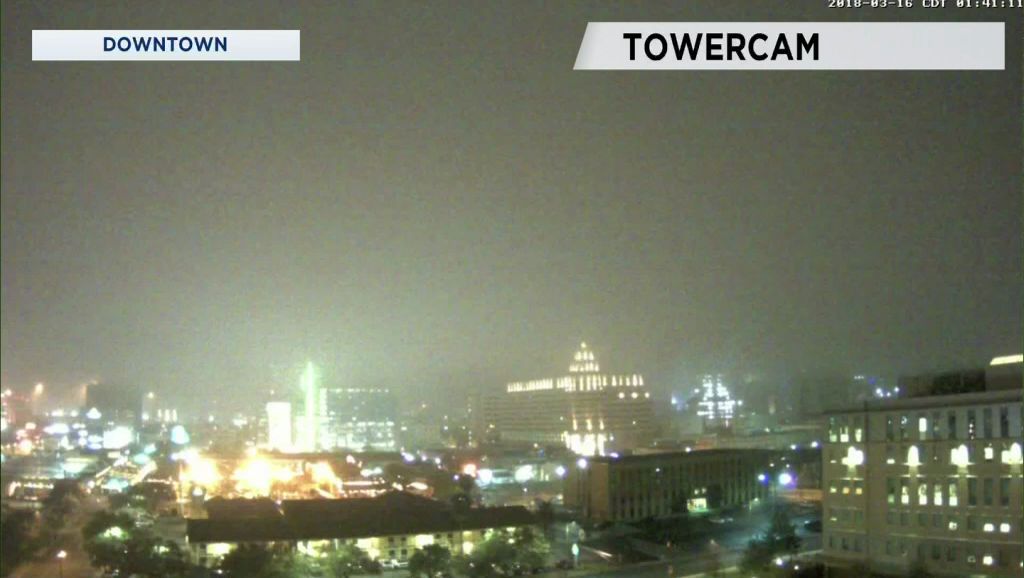
Some dense fog settled over the area late Thursday night to around 3 a.m. today. The overcast sky will clear out during the morning leaving a mostly sunny sky during the afternoon. A dry southwest flow will send temperatures rising to the middle/upper 80s. It will be an excellent t-shirts, shorts, and flip-flops kind of day. One note of caution ... the UV will be High to Very High so don't forget the sunscreen.
Clouds will be back tomorrow morning due to the Gulf flow. A weather disturbance will be moving into the far southwest United States leading to a low chance of rain Saturday. The disturbance comes closer to our area to continue a chance of showers and thunderstorms early Sunday morning ... then again Sunday early- to mid-afternoon. Thunderstorms should remain below severe limits but could produce some moderate to heavy rainfall. Our in-house computer model predicts some one-inch-plus rain totals for some cities north of San Antonio. The forecasts suggests a little more than three-quarters of an inch at the airport.
High temperatures during the weekend will be in the middle 80s.
Next week will be rain-free with plenty of sunshine. Highs will be in upper 70s to low 80s Monday. A front moves across the area Monday afternoon dropping highs in the low to mid 70s Tuesday and Wednesday. Lows Tuesday, Wednesday, and Thursday mornings will fall to the upper 40s to low 50s.
The April to June forecast was issued Thursday by NOAA. Find out what the prediction is from Meteorologist Mary Wasson.
More on the short-term forecast is available for you on your 7 Day Forecast.
Have a good weekend.


