


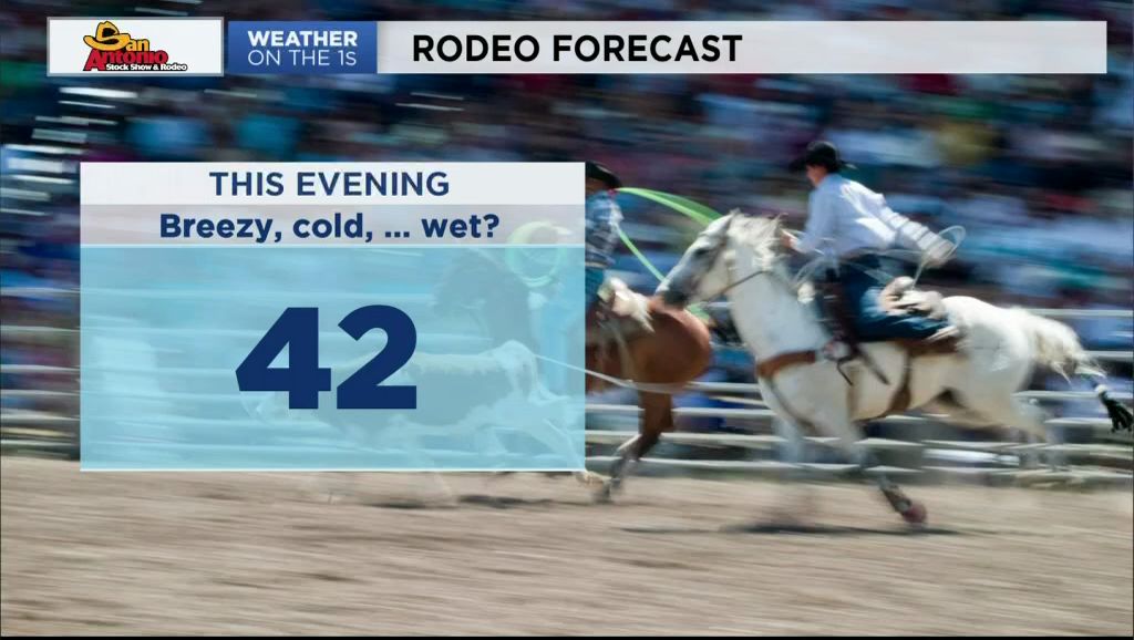
The cold front arrived two hours early Wednesday morning, arriving in Austin before 3:00. A brisk north wind has been blowing since with some wind gusts in the low to mid 20s. Afternoon temperatures will get no higher than the low to mid 40s.
Another weather disturbance is moving north through the Hill Country where, again today, the strongest thunderstorms with lightning continue.
This wet weather pattern is forecast to continue through Saturday. A period of "calm" will happen Sunday and Monday.
Temperatures will be cold today and tomorrow. This morning's cold front returns Friday morning as a warm front to send highs back to some 60s Friday and 70s Saturday.
All of this moisture will continue to promote a moderate to high mold count. It looks like tree pollens should remain low to moderate through Saturday.
For all the numbers visit your 7 Day Forecast.
WEATHER ON THE GO: Download the Spectrum News app and watch our live stream no matter where you are! GET WEATHER ALERTS: Sign up to receive weather text alerts from the Spectrum News Weather Team.
Have a safe and warm day.