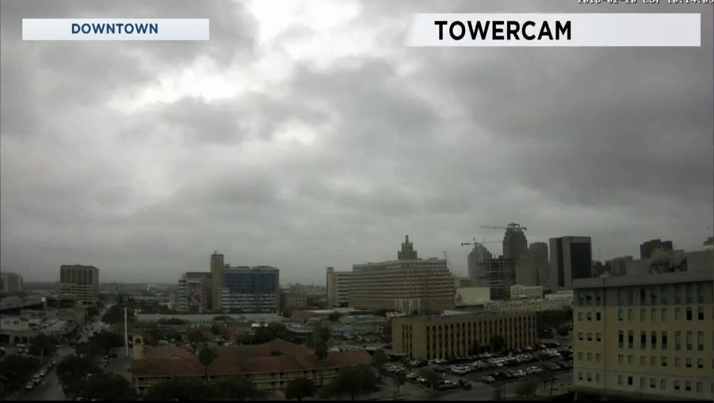
The base of an upper-level trough is found near San Diego, CA. The wind flow in the middle and upper atmosphere remains consistent out of the southwest. A strong thunderstorm with moderate to heavy rain along with frequent lightning moved north through Kerrville between 9 and 10 Tuesday morning. The afternoon's weather featured mostly light to occasionally rain.
Rain totals:
.74" Kerrville
.18" New Braunfels
.07" San Antonio International
.06" Lackland AFB
There will be no change in the mid- and upper-level wind pattern. Thus, your forecast will continue the chance for showers and thunderstorms through Saturday. A brief break from the rain comes Sunday afternoon and Monday.
Afternoon highs reached the low 70s Tuesday, including 73 at San Antonio International. Those 70s leave us for a few days due to another cold front that arrives Wednesday morning.
The front arrives in Boerne and Kerrville before 6 a.m. It should be south of San Antonio no later than 9 to 10 a.m. Temperatures will have already dropped to the 40s in the Hill Country around daybreak. Then, look for temperatures in the 50s, feeling like 40s in the afternoon thanks to a north wind 10 to 20 mph. It's a flip-flop day insofar as highs and lows go. Highs for the calendar day will be during the overnight hours. Lows for February 21 will occur before midnight Wednesday.
Thursday morning will be cold as lows fall to the upper 30s to low 40s.
The final weekend of this month should be a little wet Saturday but dry Sunday.
Tree pollens are becoming numerous with ash, elm, oak, and pine showing up. No mountain cedar was noticed under the microscope Tuesday. Tree pollens remain low to occasionally moderate ... with mold moderate to high through the weekend.
There is more on your 7 Day Forecast.
WEATHER ON THE GO: Download the Spectrum News app and watch our live stream no matter where you are! GET WEATHER ALERTS: Sign up to receive weather text alerts from the Spectrum News Weather Team.


