


We've had so many foggy, drizzly, misty days this winter, but it hasn't amounted to much rain. Over the last 60 days, San Antonio has had less than half an inch. Over the next couple of days, there's potential for 1-2" or more!
Current Conditions | Radar | Travel Maps | 7 Day Forecast | Allergy
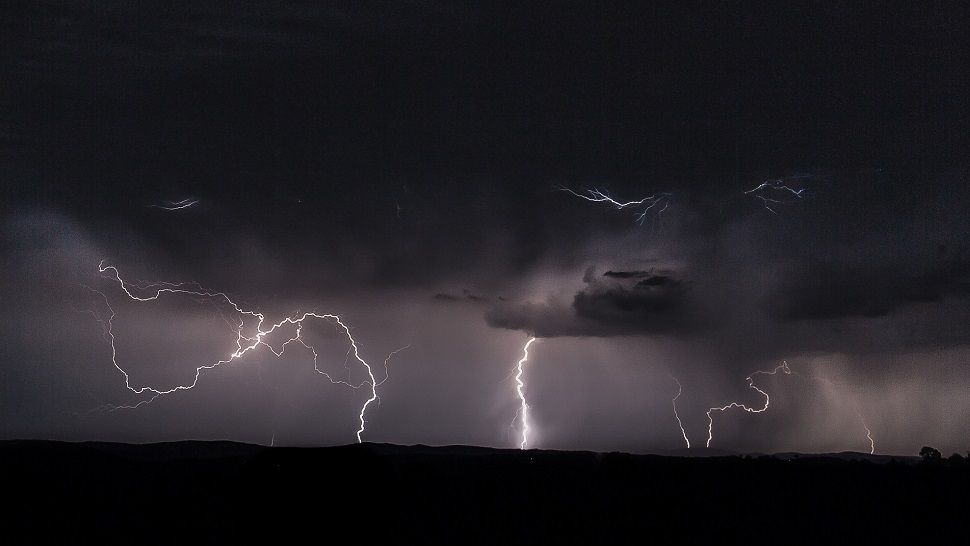
Rain was light and scattered for most of Monday, but a line of storms will move in from West Texas overnight, with the potential for strong to severe storms across the Hill Country with hail and wind gusts up to 60 mph.
A storm system over the western U.S. will move our direction, bringing waves of storms (potentially heavy) into our area. The first wave to watch out for will be late tonight, with a second more widespread wave late Tuesday night into early Wednesday morning.
There will be potential for minor flooding, along with some potent storms that could produce small hail and very gusty winds. Stay tuned!
-Emily
APP & TEXT ALERTS
WEATHER ON THE GO: Download the Spectrum News app and watch our live stream no matter where you are!
GET WEATHER ALERTS: Sign up to receive weather text alerts from the Spectrum News Weather Team