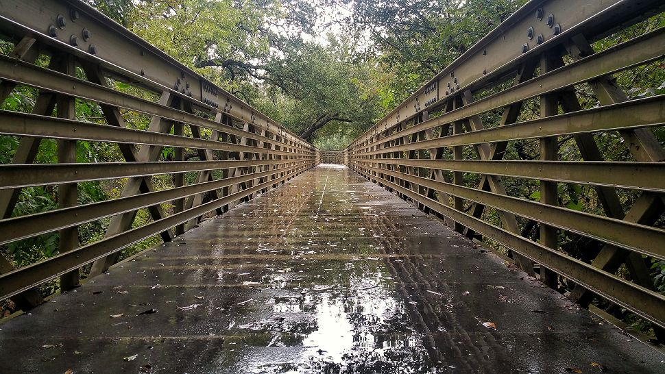
It's been a cold and wet Saturday across South Central Texas. Rainfall amounts have varied with lesser amounts less than a tenth areas fo the west to upwards of three quarters of an inch for areas to the east of San Antonio. The rain will shift to the east this evening, but low level moisture will lead to fog developing. Some of it may be thick at time reducing visibilities to near 0. Be careful driving late tonight through Sunday morning.
Click for radar and current temps.
Sunday will be dry and warmer with highs in the upper 60s. Another front will arrive on Monday but rain chances and cooling are limited with that storm system. By Monday night into early Tuesday, another storm system approaches from the west with more widespread showers. Right now we'll call for a 70% rain chance Tuesday. Dry, warm and sunny conditions are expected Wednesday and Thursday with highs in the upper 60s to low 70s.
We have big transition in our weather pattern next weekend. A strong cold front will arrive by Friday morning with arctic air spilling into Texas. Some moisture is likely to develop as well and with the cold air in place, we could see some wintry precipitation for the days leading up to the Christmas holiday. Keep in mind that we have a lot of uncertainty this far out, but just wanted to put this on your "radar" since it's one of the biggest travel weekends of the year.
Plan ahead here with the 7 day forecast.
-Meteorologist Kelly Slifka


