


After a day of clear skies and abundant sunshine Monday, clouds along with the chance for light rain will make a comeback on Tuesday.
As the center of high pressure that kept central North Carolina virtually cloudfree Monday continues to work eastward off the Carolina coast, southwesterly flow will be back in play, allowing for moisture to stream in from the south.
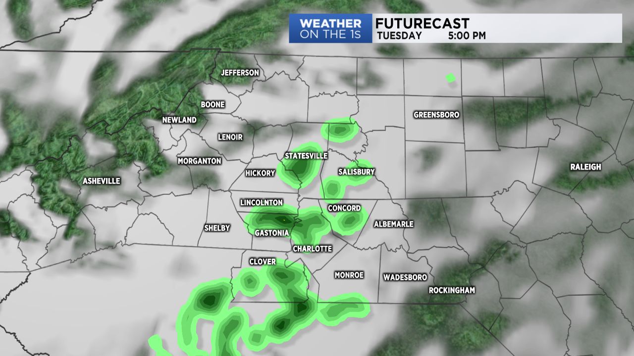
Expect more cloud cover Tuesday with skies becoming mostly cloudy to overcast by Tuesday afternoon, along with spotty light showers after about 1pm, particularly for the southern half of the Piedmont.
A cold front moving through Tuesday night will pull shower activity off to the east by Wednesday morning with clearing behind it from west to east.
Plenty of sunshine should make a return by Wednesday afternoon with highs warming into the 60s.
Another cool down arrives for Thanksgiving, with temperatures dropping a good 10 to 12 degrees from Wednesday's highs, but conditions should remain mostly dry and quiet for the next several days straight into early next week.