


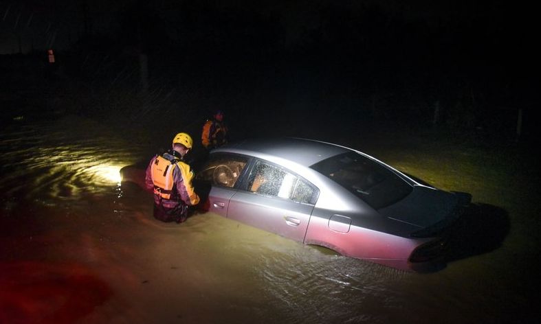
ORLANDO — Hurricane Irma, a Category 5 storm with maximum sustained winds at about 175 mph, has moved away from Puerto Rico and is headed toward the Turks and Caicos Islands.
- Airlines issue slew of flight cancellations in light of Hurricane Irma
- Sign Up For Breaking News/Weather Updates
Florida Gov. Rick Scott warned people that Hurricane Irma is a bigger storm than Hurricane Andrew, which struck the state in 1992.
"This storm is bigger, faster and stronger than Hurricane Andrew," Scott said during a news conference Wednesday.
Scott warned Floridians that everyone should take the storm seriously and people should not wait the storm out.
Meanwhile, the Florida Attorney General's office is going after anyone taking advantage of storm preparations by hiking prices — whether they have brick and mortar stores, or on online.
Attorney General Pam Bondi said she had Amazon's Legal Dept. "on speed dial" regarding people selling water and other storm supplies at inflated prices, or tacking on exorbitant fees for shipping.
"What you've got are these third party vendors who are trying to trick people and say water is at somewhat of a reasonable rate, yet charging a $100 shipping fee," Bondi said. "That's sickening, that's disgusting, it's unacceptable, and we're not going to have it."
Amazon told Bondi it is manually scrubbing these products from the site as they find them, and have already suspended 12 sellers.
If you or any friends or relatives experiencing price gouging online or at a store, go to MyFloridaLegal.com, or call 1-866-966-7226.
The Latest Advisory on Hurricane Irma
There are several watches and warnings in place, including a hurricane watch for the Florida peninsula.
At 2 p.m. EST, the distinct eye of Hurricane Irma was located near latitude 20.7 north and longitude 70.4 west. Irma is moving toward the west-northwest near 16 mph, and this general motion is expected to continue with some decrease in forward speed for the next couple of days. On the forecast track, the eye of Irma should continue to move just north of the coast of Hispaniola today, be near the Turks and Caicos and southeastern Bahamas by this evening and then be near the central Bahamas by Friday.
Maximum sustained winds are near 175 mph, with higher gusts. Some fluctuations in intensity are likely during the next day or so, but Irma is forecast to remain a powerful Category 4 or Category 5 hurricane during the next couple of days.
Hurricane-force winds extend outward up to 60 miles from the center, and tropical-storm-force winds extend outward up to 185 miles. An unofficial observing site on Grand Turk recently reported a sustained wind of 54 mph and a gust to 66 mph.
A Storm Surge Watch has been issued for the Florida peninsula, from Jupiter Inlet southward and around the peninsula to Bonita Beach, including the Florida Keys, Lake Okeechobee and Florida Bay.
The government of Cuba has extended the Tropical Storm Warning to Villa Clara province.
Here's a summary of watches and warnings in effect:
Storm Surge Watch:
- Jupiter Inlet southward around the Florida peninsula to Bonita Beach
- Florida Keys
Hurricane Warning:
- Dominican Republic from Cabo Engano to the northern border with Haiti
- Haiti from the northern border with the Dominican Republic to Le Mole St. Nicholas
- Southeastern Bahamas and the Turks and Caicos Islands
- Central Bahamas
- Northwestern Bahamas
- Jupiter Inlet southward around the Florida peninsula to Bonita Beach
- Florida Keys
- Lake Okeechobee
- Florida Bay
- Cuba from Matanzas province eastward to Guantanamo province
- Dominican Republic from south of Cabo Engano westward to the southern bo4rder with Haiti
- Haiti from south of Le Mole St. Nicholas to Port-Au-Prince
- Cuba provinces of Guantanamo, Holguin, Las Tunas, Camaguey, Ciego de Avila, Sancti Spiritus and Villa Clara
Models support the center of Irma should be moving along or just offshore Florida's east coast. Rain and wind will increase locally starting Saturday night and Sunday morning, with impacts felt through midday Monday as Irma pushes in the direction of Jacksonville and Savannah.
Regardless of the specific track, Irma is a large storm with a wind field spanning more than 175 miles, so even a distant pass at Florida would have significant impacts. Floridians and visitors are encouraged not to focus on the exact track, which will continue to shift as the storm nears. Hurricane plans should be finalized and kits should be checked as this is peak hurricane season. Make sure you also have a plan to evacuate if you're in an evacuation zone and asked to leave, and check with your insurance company regarding hurricane and flood coverage.
In addition to Irma, we are also tracking two other hurricanes in the Atlantic. They will pose no threat to Florida at this time. Hurricane Jose is in the Central Atlantic and expected to make a turn to the northwest farther away from the United States with no threats to land right now.
Hurricane Katia is in the Bay of Campeche and has warranted a Hurricane Warning from Cabo Rojo to Lagune Verde, Mexico.