


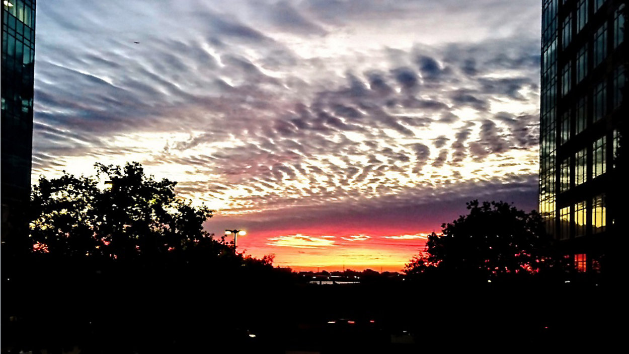
Welcome to a not-so-boring week when it comes to the weather, with three cold fronts expected to move this direction over the course of the next seven days. This afternoon, we'll feel more warmth with forecast highs in the low 80s.
Current Conditions | Satellite & Radar | Travel Maps
7 Day Forecast | Allergy
Warm southwesterly winds will get a tad bit gusty, peaking around 10 to 15 mph. The winds will settle back down tonight after sunset -- which is at 5:40 p.m. -- and we think there will be enough moisture around that, as temps cool back down into the low 60s, some thick pockets of fog could develop with low visibility conditions. Keep this in mind for your Tuesday morning commute.
Skies will turn bright and sunny for much of tomorrow and we're expecting the warmest of the week -- mid 80s -- before a cold front enters the picture. It's currently timed to slowly arrive from the north on Wednesday and may not even completely clear the Austin area before stalling out. It brings a 30% rain chance.
Another, stronger cold front is expected to sweep all the way through the Lone Star State on Thursday (40% rain/storm chance) and you'll feel a difference when it arrives, with temps dropping fairly significantly to 40s and 50s by Friday (20% rain chance.)
We're setting up for a bright but cool Veterans Day weekend. Plan for morning 40s and afternoon 60s both Saturday and Sunday. A fairly weak front is expected to arrive without rain on Monday.
Be sure to join us for 'Weather on the 1s' for more details. We're on Spectrum News every 10 minutes on TV or via the live stream.
WEATHER ON THE GO: Download the Spectrum News app and watch our live stream no matter where you are!
GET WEATHER ALERTS: Sign up to receive weather text alerts from the Spectrum News Weather Team
Enjoy the weather!
--Chief Meteorologist Burton Fitzsimmons (@Burton_Spectrum)