


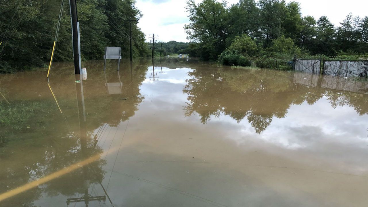
Early Saturday, a slow moving cold front helped spark flooding rains across South Central Texas. As the boundary plowed into the deep tropical moisture, very heavy rains soaked the region with most areas receiving 2 to 4 inches and a few isolated spots seeing as much as 10 inches in a short time. One observer near Hutto measured 9.88 inches of rain.
Flooding has been significant in many areas and many low water crossings are closed with river flood warnings on several creeks and tributaries. Never drive around a barricaded roadway; most flash flood deaths occur when drivers cross flooded roads and are swept away by the waters. Floodwaters will take a few days to recede in some areas.
Current Conditions | Radar | Travel Maps | 7 Day Forecast | Allergy
With the atmosphere stabilized, additional heavy rains are unlikely, but some showers and sprinkles are possible from Saturday afternoon through Sunday. Look for otherwise cloudy skies and high temperatures in the middle 80s Saturday.
Clouds and a slight chance of showers linger through Sunday. Morning lows will be a bit cooler with middle 60s in the city with low 60s in the Hill Country to start Sunday. We’ll finish the weekend with highs in the 80s and lows in the 60s.
Rain returns to the forecast by Tuesday with another, stronger cold front arriving midweek. That front may be the first taste of Fall temperatures for the region by Thursday or Friday.
See the details in the Seven Day Forecast.
Dan Robertson
Twitter: @TexasThunderman
WEATHER ON THE GO: Download the Spectrum News app and watch our live stream no matter where you are!
GET WEATHER ALERTS: Sign up to receive weather text alerts from the Spectrum News Weather Team