


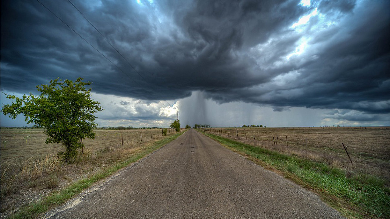
Umbrella weather continues! We're looking at a pretty good shot for more showers & storms through the upcoming weekend and maybe longer thanks to abundant moisture plus the presence of a weak front. Here at home today, it's an overall 50% rain/storm chance with the forecast calling for mostly cloudy skies and afternoon highs in the low 90s.
Current Conditions | Satellite & Radar | Travel Maps
7 Day Forecast | Allergy
Top rain totals since Sunday:
5.01" Dripping Springs
4.19" Elroy
3.58" Cedar Creek
3.33" Manchaca
3.25" Marble Falls
2.75" Lake Austin
2.74" Kyle
2.72" Oak Hill
2.63" Buda
1.76" Burnet
1.69" Taylor
1.67" Wimberley
1.97" Driftwood
1.79" Downtown
1.35" Lake Bastrop
1.51" Spicewood
1.09" Leander
1.07" Austin-Mabry
0.85" Austin Airport
An upper-air disturbance moving over South Texas is helping to generate storms along the border with Mexico but, otherwise, conditions have been relatively quiet compared to 24 hours ago.
Our Futurecast model shows hit-or-miss storms trying to fire up across the area today then another lull tonight.
A weak cold front is expected to drop into the Panhandle today and models show it stalling out as it nears the I-20 corridor. It'll act as the focal point for numerous waves of rain in the days ahead, and some models indicate it'll drift down towards the Hill Country by the weekend. Stay tuned!
Check out the latest with TROPICAL STORM GORDON and get a look at the latest rain projections on 'Weather on the 1s' -- join us on TV or the live stream every 10 minutes.
WEATHER ON THE GO: Download the Spectrum News app and watch our live stream no matter where you are!
GET WEATHER ALERTS: Sign up to receive weather text alerts from the Spectrum News Weather Team
Keep cool!
--Chief Meteorologist Burton Fitzsimmons (@Burton_Spectrum)